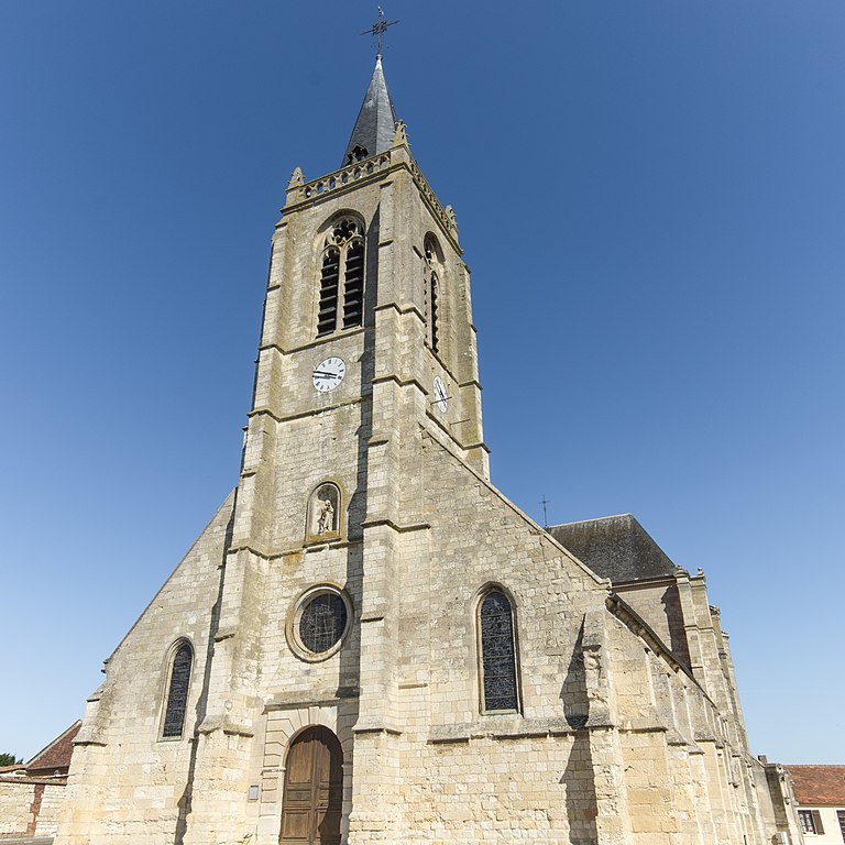
Jonquières (Jonquières)
- commune in Oise, France
- Country:

- Postal Code: 60680
- Coordinates: 49° 23' 23" N, 2° 43' 49" E


- GPS tracks (wikiloc): [Link]
- AboveSeaLevel: 90 м m
- Area: 7.32 sq km
- Population: 611
- Wikipedia en: wiki(en)
- Wikipedia: wiki(fr)
- Wikidata storage: Wikidata: Q1338632
- Wikipedia Commons Category: [Link]
- Freebase ID: [/m/03qh3bp]
- GeoNames ID: Alt: [6438764]
- SIREN number: [216003236]
- BnF ID: [15267564r]
- VIAF ID: Alt: [134989011]
- Library of Congress authority ID: Alt: [n89119092]
- PACTOLS thesaurus ID: [pcrtStlcVQrMXS]
- INSEE municipality code: 60326
Shares border with regions:


Le Meux
- commune in Oise, France
- Country:

- Postal Code: 60880
- Coordinates: 49° 22' 4" N, 2° 44' 40" E


- GPS tracks (wikiloc): [Link]
- Area: 7.8 sq km
- Population: 2200
- Web site: [Link]


Lachelle
- commune in Oise, France
- Country:

- Postal Code: 60190
- Coordinates: 49° 26' 39" N, 2° 44' 5" E


- GPS tracks (wikiloc): [Link]
- Area: 9.07 sq km
- Population: 639
- Web site: [Link]


Jaux
- commune in Oise, France
- Country:

- Postal Code: 60880
- Coordinates: 49° 23' 22" N, 2° 46' 34" E


- GPS tracks (wikiloc): [Link]
- Area: 8.63 sq km
- Population: 2564
- Web site: [Link]


Remy
- commune in Oise, France
- Country:

- Postal Code: 60190
- Coordinates: 49° 26' 17" N, 2° 42' 28" E


- GPS tracks (wikiloc): [Link]
- Area: 19.97 sq km
- Population: 1753
- Web site: [Link]


Longueil-Sainte-Marie
- commune in Oise, France
- Country:

- Postal Code: 60126
- Coordinates: 49° 21' 24" N, 2° 43' 4" E


- GPS tracks (wikiloc): [Link]
- Area: 17 sq km
- Population: 1924
- Web site: [Link]


Canly
- commune in Oise, France
- Country:

- Postal Code: 60680
- Coordinates: 49° 23' 11" N, 2° 42' 30" E


- GPS tracks (wikiloc): [Link]
- Area: 8 sq km
- Population: 808


Arsy
- commune in Oise, France
- Country:

- Postal Code: 60190
- Coordinates: 49° 24' 3" N, 2° 40' 55" E


- GPS tracks (wikiloc): [Link]
- Area: 7.27 sq km
- Population: 774
