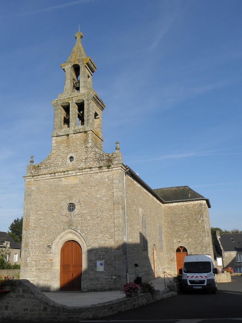
Léhon (Léhon)

- former commune in Côtes-d'Armor, France
- Country:

- Postal Code: 22100
- Coordinates: 48° 26' 31" N, 2° 2' 22" E


- GPS tracks (wikiloc): [Link]
- Area: 4.6 sq km
- Population: 3072
- Web site: http://www.mairie-lehon.fr
- Wikipedia en: wiki(en)
- Wikipedia: wiki(fr)
- Wikidata storage: Wikidata: Q207790
- Wikipedia Commons Category: [Link]
- Freebase ID: [/m/03hkwt5]
- GeoNames ID: Alt: [3003777]
- SIREN number: [212201230]
- BnF ID: [15251123d]
- VIAF ID: Alt: [248752872]
- INSEE municipality code: 22123
Shares border with regions:

Trélivan
- commune in Côtes-d'Armor, France
- Country:
- Postal Code: 22100
- Coordinates: 48° 25' 59" N, 2° 7' 3" E
- GPS tracks (wikiloc): [Link]
- Area: 11.1 sq km
- Population: 2693
- Web site: [Link]
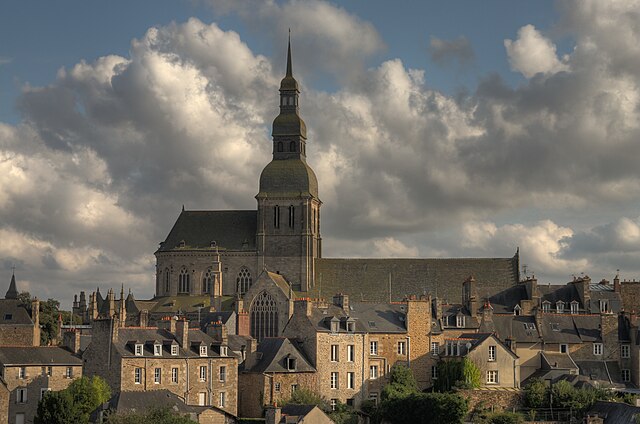

Dinan
- commune in Côtes-d'Armor, France
- Country:
- Postal Code: 22100
- Coordinates: 48° 27' 20" N, 2° 3' 1" E
- GPS tracks (wikiloc): [Link]
- AboveSeaLevel: 76 м m
- Area: 4.11 sq km
- Population: 11003
- Web site: [Link]


Saint-Carné
- commune in Côtes-d'Armor, France
- Country:
- Postal Code: 22100
- Coordinates: 48° 24' 57" N, 2° 3' 56" E
- GPS tracks (wikiloc): [Link]
- Area: 8.36 sq km
- Population: 1000

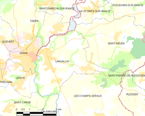
Lanvallay
- commune in Côtes-d'Armor, France
- Country:
- Postal Code: 22100
- Coordinates: 48° 27' 19" N, 2° 1' 42" E
- GPS tracks (wikiloc): [Link]
- Area: 14.61 sq km
- Population: 4070
- Web site: [Link]
Quévert
- commune in Côtes-d'Armor, France
- Country:
- Postal Code: 22100
- Coordinates: 48° 27' 49" N, 2° 5' 14" E
- GPS tracks (wikiloc): [Link]
- Area: 12.48 sq km
- Population: 3727
- Web site: [Link]