L'Hôpital-le-Grand (L'Hôpital-le-Grand)

- commune in Loire, France
- Country:

- Postal Code: 42210
- Coordinates: 45° 35' 36" N, 4° 11' 53" E


- GPS tracks (wikiloc): [Link]
- Area: 12.86 sq km
- Population: 1017
- Web site: http://www.lhopitallegrand.fr/
- Wikipedia en: wiki(en)
- Wikipedia: wiki(fr)
- Wikidata storage: Wikidata: Q1106905
- Wikipedia Commons Category: [Link]
- Freebase ID: [/m/03nw90b]
- Freebase ID: [/m/03nw90b]
- GeoNames ID: Alt: [6614326]
- GeoNames ID: Alt: [6614326]
- SIREN number: [214201089]
- SIREN number: [214201089]
- BnF ID: [15259677n]
- BnF ID: [15259677n]
- INSEE municipality code: 42108
- INSEE municipality code: 42108
Shares border with regions:


Craintilleux
- commune in Loire, France
- Country:
- Postal Code: 42210
- Coordinates: 45° 35' 0" N, 4° 14' 5" E
- GPS tracks (wikiloc): [Link]
- Area: 8.22 sq km
- Population: 1263
- Web site: [Link]

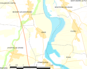
Unias
- commune in Loire, France
- Country:
- Postal Code: 42210
- Coordinates: 45° 36' 18" N, 4° 13' 39" E
- GPS tracks (wikiloc): [Link]
- Area: 5.37 sq km
- Population: 436


Précieux
- commune in Loire, France
- Country:
- Postal Code: 42600
- Coordinates: 45° 35' 11" N, 4° 9' 4" E
- GPS tracks (wikiloc): [Link]
- AboveSeaLevel: 375 м m
- Area: 16.29 sq km
- Population: 1023


Sury-le-Comtal
- commune in Loire, France
- Country:
- Postal Code: 42450
- Coordinates: 45° 32' 15" N, 4° 10' 59" E
- GPS tracks (wikiloc): [Link]
- Area: 24.18 sq km
- Population: 6283


Grézieux-le-Fromental
- commune in Loire, France
- Country:
- Postal Code: 42600
- Coordinates: 45° 37' 4" N, 4° 9' 10" E
- GPS tracks (wikiloc): [Link]
- Area: 10.31 sq km
- Population: 204

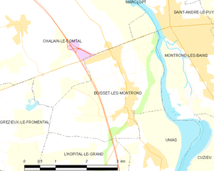
Boisset-lès-Montrond
- commune in Loire, France
- Country:
- Postal Code: 42210
- Coordinates: 45° 37' 16" N, 4° 12' 45" E
- GPS tracks (wikiloc): [Link]
- Area: 8.01 sq km
- Population: 1149