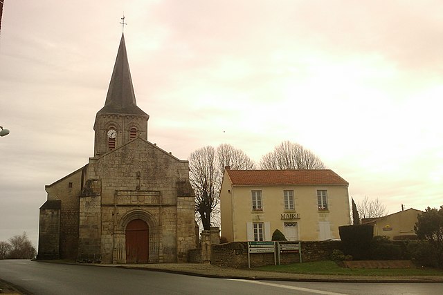
L'Hermenault (L'Hermenault)

- commune in Vendée, France
- Country:

- Postal Code: 85570
- Coordinates: 46° 31' 10" N, 0° 54' 5" E


- GPS tracks (wikiloc): [Link]
- Area: 11.42 sq km
- Population: 879
- Web site: http://www.hermenault.fr
- Wikipedia en: wiki(en)
- Wikipedia: wiki(fr)
- Wikidata storage: Wikidata: Q1422023
- Wikipedia Commons Category: [Link]
- Freebase ID: [/m/03qltpz]
- GeoNames ID: Alt: [6614386]
- SIREN number: [218501104]
- BnF ID: [152782364]
- INSEE municipality code: 85110
Shares border with regions:

Pouillé
- commune in Vendée, France
- Country:
- Postal Code: 85570
- Coordinates: 46° 30' 22" N, 0° 56' 57" E
- GPS tracks (wikiloc): [Link]
- Area: 17.48 sq km
- Population: 620
- Web site: [Link]


Marsais-Sainte-Radégonde
- commune in Vendée, France
- Country:
- Postal Code: 85570
- Coordinates: 46° 32' 18" N, 0° 52' 53" E
- GPS tracks (wikiloc): [Link]
- Area: 14.77 sq km
- Population: 531
- Web site: [Link]


Petosse
- commune in Vendée, France
- Country:
- Postal Code: 85570
- Coordinates: 46° 29' 0" N, 0° 55' 0" E
- GPS tracks (wikiloc): [Link]
- Area: 15.9 sq km
- Population: 689


Saint-Valérien
- commune in Vendée, France
- Country:
- Postal Code: 85570
- Coordinates: 46° 31' 41" N, 0° 56' 21" E
- GPS tracks (wikiloc): [Link]
- Area: 14.3 sq km
- Population: 524
- Web site: [Link]


Saint-Martin-des-Fontaines
- commune in Vendée, France
- Country:
- Postal Code: 85570
- Coordinates: 46° 32' 28" N, 0° 54' 16" E
- GPS tracks (wikiloc): [Link]
- Area: 5.64 sq km
- Population: 170


Sérigné
- commune in Vendée, France
- Country:
- Postal Code: 85200
- Coordinates: 46° 30' 1" N, 0° 50' 45" E
- GPS tracks (wikiloc): [Link]
- Area: 18.69 sq km
- Population: 981
- Web site: [Link]