arrondissement of Fontenay-le-Comte (arrondissement de Fontenay-le-Comte)

- arrondissement of France
- Country:

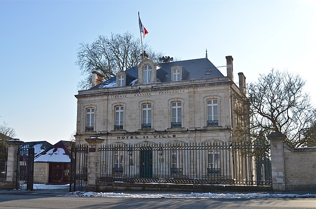
- Capital: Fontenay-le-Comte
- Coordinates: 46° 35' 0" N, 1° 0' 0" E


- GPS tracks (wikiloc): [Link]
- Area: 2129 sq km
- Population: 141689
- Wikipedia en: wiki(en)
- Wikipedia: wiki(fr)
- Wikidata storage: Wikidata: Q599886
- Freebase ID: [/m/095fc6]
- GeoNames ID: Alt: [3017920]
- INSEE arrondissement code: [851]
- GNS Unique Feature ID: -1427443
Includes regions:

canton of Sainte-Hermine
- canton of France (until March 2015)
- Country:
- Capital: Sainte-Hermine
- Coordinates: 46° 34' 9" N, 1° 0' 33" E
- GPS tracks (wikiloc): [Link]

canton of Saint-Hilaire-des-Loges
- canton of France (until March 2015)
- Country:
- Capital: Saint-Hilaire-des-Loges
- Coordinates: 46° 28' 49" N, 0° 41' 36" E
- GPS tracks (wikiloc): [Link]

canton of Chaillé-les-Marais
- canton of France
- Country:
- Capital: Chaillé-les-Marais
- Coordinates: 46° 22' 48" N, 1° 0' 51" E
- GPS tracks (wikiloc): [Link]

canton of Fontenay-le-Comte
- canton of France
- Country:
- Capital: Fontenay-le-Comte
- Coordinates: 46° 26' 40" N, 0° 51' 7" E
- GPS tracks (wikiloc): [Link]
- Area: 561.88 sq km
- Population: 43514


canton of La Châtaigneraie
- canton of France
- Country:
- Capital: La Châtaigneraie
- Coordinates: 46° 38' 11" N, 0° 45' 36" E
- GPS tracks (wikiloc): [Link]
- Area: 666.25 sq km
- Population: 31127


canton of Luçon
- canton of France
- Country:
- Capital: Luçon
- Coordinates: 46° 25' 16" N, 1° 13' 52" E
- GPS tracks (wikiloc): [Link]
- Population: 32284
canton of L'Hermenault
- canton of France
- Country:
- Capital: L'Hermenault
- Coordinates: 46° 31' 7" N, 0° 54' 45" E
- GPS tracks (wikiloc): [Link]

canton of Maillezais
- canton of France
- Country:
- Capital: Maillezais
- Coordinates: 46° 21' 43" N, 0° 43' 49" E
- GPS tracks (wikiloc): [Link]
