La Bouëxière (La Bouëxière)

- commune in Ille-et-Vilaine, France
- Country:

- Postal Code: 35340
- Coordinates: 48° 11' 2" N, 1° 26' 17" E


- GPS tracks (wikiloc): [Link]
- Area: 49.68 sq km
- Population: 4296
- Web site: http://www.mairie-labouexiere.fr
- Wikipedia en: wiki(en)
- Wikipedia: wiki(fr)
- Wikidata storage: Wikidata: Q1063192
- Wikipedia Commons Category: [Link]
- Freebase ID: [/m/03c8nzh]
- Freebase ID: [/m/03c8nzh]
- GeoNames ID: Alt: [3010911]
- GeoNames ID: Alt: [3010911]
- SIREN number: [213500317]
- SIREN number: [213500317]
- BnF ID: [152569752]
- BnF ID: [152569752]
- OSM relation ID: [149903]
- OSM relation ID: [149903]
- PACTOLS thesaurus ID: [pcrtg8tu1eVhuM]
- PACTOLS thesaurus ID: [pcrtg8tu1eVhuM]
- INSEE municipality code: 35031
- INSEE municipality code: 35031
Shares border with regions:


Dourdain
- commune in Ille-et-Vilaine, France
- Country:
- Postal Code: 35450
- Coordinates: 48° 11' 35" N, 1° 22' 12" E
- GPS tracks (wikiloc): [Link]
- AboveSeaLevel: 95 м m
- Area: 13.8 sq km
- Population: 1148
- Web site: [Link]


Liffré
- commune in Ille-et-Vilaine, France
- Country:
- Postal Code: 35340
- Coordinates: 48° 12' 49" N, 1° 30' 29" E
- GPS tracks (wikiloc): [Link]
- Area: 66.86 sq km
- Population: 7370
- Web site: [Link]


Acigné
- commune in Ille-et-Vilaine, France
- Country:
- Postal Code: 35690
- Coordinates: 48° 8' 3" N, 1° 32' 12" E
- GPS tracks (wikiloc): [Link]
- Area: 29.55 sq km
- Population: 6521
- Web site: [Link]


Servon-sur-Vilaine
- commune in Ille-et-Vilaine, France
- Country:
- Postal Code: 35530
- Coordinates: 48° 7' 17" N, 1° 27' 38" E
- GPS tracks (wikiloc): [Link]
- Area: 15.26 sq km
- Population: 3579
- Web site: [Link]

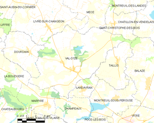
Val-d'Izé
- commune in Ille-et-Vilaine, France
- Country:
- Postal Code: 35450
- Coordinates: 48° 10' 38" N, 1° 18' 17" E
- GPS tracks (wikiloc): [Link]
- Area: 43.79 sq km
- Population: 2588
- Web site: [Link]


Marpiré
- commune in Ille-et-Vilaine, France
- Country:
- Postal Code: 35220
- Coordinates: 48° 8' 35" N, 1° 20' 23" E
- GPS tracks (wikiloc): [Link]
- AboveSeaLevel: 110 м m
- Area: 10.62 sq km
- Population: 1075

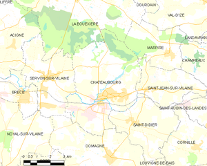
Châteaubourg
- commune in Ille-et-Vilaine, France
- Country:
- Postal Code: 35220
- Coordinates: 48° 6' 40" N, 1° 24' 12" E
- GPS tracks (wikiloc): [Link]
- Area: 28.6 sq km
- Population: 6917
- Web site: [Link]