La Chapelle-Huon (La Chapelle-Huon)

- commune in Sarthe, France
- Country:

- Postal Code: 72310
- Coordinates: 47° 51' 23" N, 0° 44' 34" E


- GPS tracks (wikiloc): [Link]
- Area: 18.65 sq km
- Population: 544
- Wikipedia en: wiki(en)
- Wikipedia: wiki(fr)
- Wikidata storage: Wikidata: Q531409
- Wikipedia Commons Category: [Link]
- Freebase ID: [/m/03qkzfw]
- GeoNames ID: Alt: [3010318]
- SIREN number: [217200641]
- BnF ID: [152736210]
- INSEE municipality code: 72064
Shares border with regions:
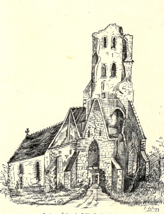
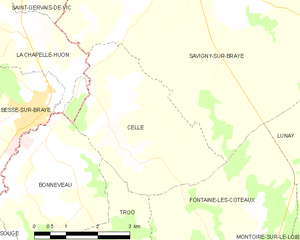
Cellé
- commune in Loir-et-Cher, France
- Country:
- Postal Code: 41360
- Coordinates: 47° 50' 1" N, 0° 46' 58" E
- GPS tracks (wikiloc): [Link]
- Area: 12.67 sq km
- Population: 234

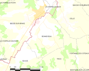
Bonneveau
- commune in Loir-et-Cher, France
- Country:
- Postal Code: 41800
- Coordinates: 47° 48' 45" N, 0° 44' 59" E
- GPS tracks (wikiloc): [Link]
- Area: 10.95 sq km
- Population: 479
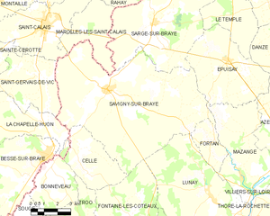
Savigny-sur-Braye
- commune in Loir-et-Cher, France
- Country:
- Postal Code: 41360
- Coordinates: 47° 52' 46" N, 0° 48' 33" E
- GPS tracks (wikiloc): [Link]
- Area: 67.18 sq km
- Population: 2072
- Web site: [Link]

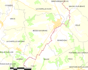
Bessé-sur-Braye
- commune in Sarthe, France
- Country:
- Postal Code: 72310
- Coordinates: 47° 50' 2" N, 0° 44' 58" E
- GPS tracks (wikiloc): [Link]
- Area: 20.6 sq km
- Population: 2233
- Web site: [Link]


Cogners
- commune in Sarthe, France
- Country:
- Postal Code: 72310
- Coordinates: 47° 52' 5" N, 0° 39' 32" E
- GPS tracks (wikiloc): [Link]
- Area: 13.6 sq km
- Population: 200


Saint-Gervais-de-Vic
- commune in Sarthe, France
- Country:
- Postal Code: 72120
- Coordinates: 47° 53' 13" N, 0° 44' 27" E
- GPS tracks (wikiloc): [Link]
- Area: 16.03 sq km
- Population: 400

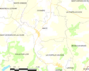
Vancé
- commune in Sarthe, France
- Country:
- Postal Code: 72310
- Coordinates: 47° 49' 57" N, 0° 38' 47" E
- GPS tracks (wikiloc): [Link]
- Area: 12.47 sq km
- Population: 328
- Web site: [Link]