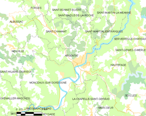
La Chapelle-Saint-Géraud (La Chapelle-Saint-Géraud)

- commune in Corrèze, France
- Country:

- Postal Code: 19430
- Coordinates: 45° 2' 22" N, 1° 57' 14" E


- GPS tracks (wikiloc): [Link]
- Area: 17.59 sq km
- Population: 208
- Wikipedia en: wiki(en)
- Wikipedia: wiki(fr)
- Wikidata storage: Wikidata: Q468751
- Wikipedia Commons Category: [Link]
- Freebase ID: [/m/03mfysg]
- GeoNames ID: Alt: [6456757]
- SIREN number: [211904503]
- BnF ID: [15249681p]
- INSEE municipality code: 19045
Shares border with regions:
Mercœur
- commune in Corrèze, France
- Country:
- Postal Code: 19430
- Coordinates: 45° 0' 54" N, 1° 56' 53" E
- GPS tracks (wikiloc): [Link]
- Area: 29.94 sq km
- Population: 250

Argentat
- former commune in Corrèze, France
- Country:
- Postal Code: 19400
- Coordinates: 45° 5' 36" N, 1° 56' 16" E
- GPS tracks (wikiloc): [Link]
- Area: 22.41 sq km
- Population: 2961
- Web site: [Link]


Hautefage
- commune in Corrèze, France
- Country:
- Postal Code: 19400
- Coordinates: 45° 4' 57" N, 2° 0' 4" E
- GPS tracks (wikiloc): [Link]
- Area: 24.06 sq km
- Population: 310

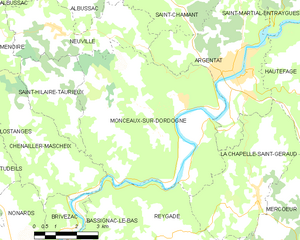
Monceaux-sur-Dordogne
- commune in Corrèze, France
- Country:
- Postal Code: 19400
- Coordinates: 45° 4' 54" N, 1° 54' 28" E
- GPS tracks (wikiloc): [Link]
- Area: 36.93 sq km
- Population: 641

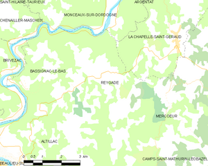
Reygade
- commune in Corrèze, France
- Country:
- Postal Code: 19430
- Coordinates: 45° 0' 54" N, 1° 54' 33" E
- GPS tracks (wikiloc): [Link]
- Area: 13.94 sq km
- Population: 194