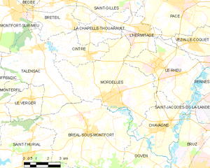
La Chapelle-Thouarault (La Chapelle-Thouarault)

- commune in Ille-et-Vilaine, France
- Country:

- Postal Code: 35590
- Coordinates: 48° 7' 28" N, 1° 51' 56" E


- GPS tracks (wikiloc): [Link]
- Area: 7.64 sq km
- Population: 2070
- Web site: http://www.lachapellethouarault.fr
- Wikipedia en: wiki(en)
- Wikipedia: wiki(fr)
- Wikidata storage: Wikidata: Q664527
- Wikipedia Commons Category: [Link]
- Freebase ID: [/m/03mdxrt]
- Freebase ID: [/m/03mdxrt]
- GeoNames ID: Alt: [3010226]
- GeoNames ID: Alt: [3010226]
- SIREN number: [213500655]
- SIREN number: [213500655]
- BnF ID: [152570091]
- BnF ID: [152570091]
- OSM relation ID: [128195]
- OSM relation ID: [128195]
- INSEE municipality code: 35065
- INSEE municipality code: 35065
Shares border with regions:

Mordelles
- commune in Ille-et-Vilaine, France
- Country:
- Postal Code: 35310
- Coordinates: 48° 4' 29" N, 1° 50' 45" E
- GPS tracks (wikiloc): [Link]
- Area: 29.76 sq km
- Population: 7275
- Web site: [Link]


Breteil
- commune in Ille-et-Vilaine, France
- Country:
- Postal Code: 35160
- Coordinates: 48° 8' 43" N, 1° 53' 56" E
- GPS tracks (wikiloc): [Link]
- Area: 14.7 sq km
- Population: 3482
- Web site: [Link]


Cintré
- commune in Ille-et-Vilaine, France
- Country:
- Postal Code: 35310
- Coordinates: 48° 6' 20" N, 1° 52' 20" E
- GPS tracks (wikiloc): [Link]
- Area: 8.32 sq km
- Population: 2236
- Web site: [Link]

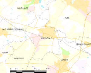
L'Hermitage
- commune in Ille-et-Vilaine, France
- Country:
- Postal Code: 35590
- Coordinates: 48° 7' 33" N, 1° 48' 57" E
- GPS tracks (wikiloc): [Link]
- Area: 6.83 sq km
- Population: 4227
- Web site: [Link]


Saint-Gilles
- commune in Ille-et-Vilaine, France
- Country:
- Postal Code: 35590
- Coordinates: 48° 9' 13" N, 1° 49' 34" E
- GPS tracks (wikiloc): [Link]
- Area: 20.72 sq km
- Population: 4447
- Web site: [Link]