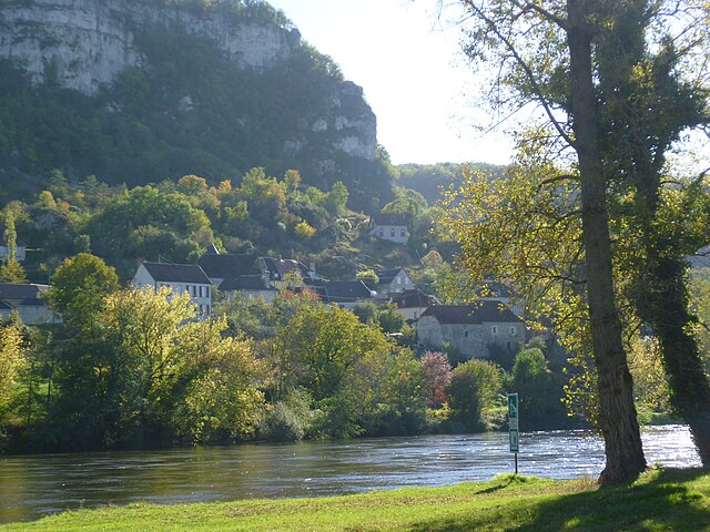
La Chapelle-aux-Saints (La Chapelle-aux-Saints)

- commune in Corrèze, France
- Country:

- Postal Code: 19120
- Coordinates: 44° 58' 55" N, 1° 42' 48" E


- GPS tracks (wikiloc): [Link]
- AboveSeaLevel: 120 м m
- Area: 4.72 sq km
- Population: 255
- Wikipedia en: wiki(en)
- Wikipedia: wiki(fr)
- Wikidata storage: Wikidata: Q63073
- Wikipedia Commons Category: [Link]
- Freebase ID: [/m/03mfys3]
- GeoNames ID: Alt: [6456756]
- SIREN number: [211904404]
- BnF ID: [15249680b]
- VIAF ID: Alt: [144437410]
- Library of Congress authority ID: Alt: [n2001033963]
- PACTOLS thesaurus ID: [pcrtFXNSyqENBV]
- Encyclopædia Universalis ID: [la-chapelle-aux-saints-site-prehistorique]
- INSEE municipality code: 19044
Shares border with regions:
Végennes
- commune in Corrèze, France
- Country:
- Postal Code: 19120
- Coordinates: 44° 58' 55" N, 1° 44' 23" E
- GPS tracks (wikiloc): [Link]
- Area: 10.11 sq km
- Population: 175


Bétaille
- commune in Lot, France
- Country:
- Postal Code: 46110
- Coordinates: 44° 56' 38" N, 1° 44' 2" E
- GPS tracks (wikiloc): [Link]
- Area: 13.99 sq km
- Population: 985

Vayrac
- commune in Lot, France
- Country:
- Postal Code: 46110
- Coordinates: 44° 57' 11" N, 1° 42' 15" E
- GPS tracks (wikiloc): [Link]
- Area: 16.33 sq km
- Population: 1291
- Web site: [Link]


Branceilles
- commune in Corrèze, France
- Country:
- Postal Code: 19500
- Coordinates: 45° 0' 41" N, 1° 42' 37" E
- GPS tracks (wikiloc): [Link]
- Area: 11.59 sq km
- Population: 272


Curemonte
- commune in Corrèze, France
- Country:
- Postal Code: 19500
- Coordinates: 45° 0' 3" N, 1° 44' 32" E
- GPS tracks (wikiloc): [Link]
- Area: 8.83 sq km
- Population: 213
Saint-Michel-de-Bannières
- commune in Lot, France
- Country:
- Postal Code: 46110
- Coordinates: 44° 58' 34" N, 1° 41' 20" E
- GPS tracks (wikiloc): [Link]
- Area: 7.74 sq km
- Population: 337