La Courbe (La Courbe)

- former commune in Orne, France
- Country:

- Postal Code: 61150
- Coordinates: 48° 44' 42" N, 0° 11' 24" E


- GPS tracks (wikiloc): [Link]
- Area: 5.05 sq km
- Population: 56
- Wikipedia en: wiki(en)
- Wikipedia: wiki(fr)
- Wikidata storage: Wikidata: Q1155900
- Wikipedia Commons Category: [Link]
- Freebase ID: [/m/03qgs1m]
- Freebase ID: [/m/03qgs1m]
- GeoNames ID: Alt: [6456279]
- GeoNames ID: Alt: [6456279]
- BnF ID: [15268061k]
- BnF ID: [15268061k]
- PACTOLS thesaurus ID: [pcrtnfQPcB3nuo]
- PACTOLS thesaurus ID: [pcrtnfQPcB3nuo]
- INSEE municipality code: 61127
- INSEE municipality code: 61127
Shares border with regions:


Ménil-Jean
- former commune in Orne, France
- Country:
- Postal Code: 61210
- Coordinates: 48° 44' 21" N, 0° 13' 25" E
- GPS tracks (wikiloc): [Link]
- Area: 7.04 sq km
- Population: 117

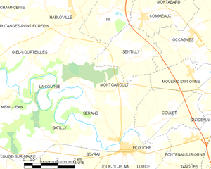
Montgaroult
- former commune in Orne, France
- Country:
- Postal Code: 61150
- Coordinates: 48° 44' 55" N, 0° 7' 53" E
- GPS tracks (wikiloc): [Link]
- Area: 13.87 sq km
- Population: 403

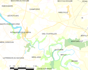
Giel-Courteilles
- commune in Orne, France
- Country:
- Postal Code: 61210
- Coordinates: 48° 45' 52" N, 0° 11' 49" E
- GPS tracks (wikiloc): [Link]
- AboveSeaLevel: 245 м m
- Area: 12.58 sq km
- Population: 435


Batilly
- former commune in Orne, France
- Country:
- Postal Code: 61150
- Coordinates: 48° 43' 14" N, 0° 11' 4" E
- GPS tracks (wikiloc): [Link]
- Area: 8.99 sq km
- Population: 149