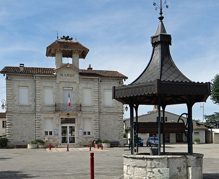
La Croix-Blanche (La Croix-Blanche)

- commune in Lot-et-Garonne, France
- Country:

- Postal Code: 47340
- Coordinates: 44° 17' 41" N, 0° 41' 35" E


- GPS tracks (wikiloc): [Link]
- Area: 13.05 sq km
- Population: 973
- Web site: http://www.croixblanche47.fr/
- Wikipedia en: wiki(en)
- Wikipedia: wiki(fr)
- Wikidata storage: Wikidata: Q210622
- Wikipedia Commons Category: [Link]
- Freebase ID: [/m/03qm175]
- GeoNames ID: Alt: [6456931]
- SIREN number: [214700759]
- BnF ID: [15261156k]
- INSEE municipality code: 47075
Shares border with regions:


Foulayronnes
- commune in Lot-et-Garonne, France
- Country:
- Postal Code: 47510
- Coordinates: 44° 14' 22" N, 0° 38' 53" E
- GPS tracks (wikiloc): [Link]
- Area: 28.86 sq km
- Population: 5307
- Web site: [Link]

Laroque-Timbaut
- commune in Lot-et-Garonne, France
- Country:
- Postal Code: 47340
- Coordinates: 44° 16' 59" N, 0° 45' 43" E
- GPS tracks (wikiloc): [Link]
- Area: 21.64 sq km
- Population: 1625
- Web site: [Link]


Monbalen
- commune in Lot-et-Garonne, France
- Country:
- Postal Code: 47340
- Coordinates: 44° 18' 47" N, 0° 44' 19" E
- GPS tracks (wikiloc): [Link]
- Area: 13 sq km
- Population: 427

Castella
- commune in Lot-et-Garonne, France
- Country:
- Postal Code: 47340
- Coordinates: 44° 18' 49" N, 0° 41' 3" E
- GPS tracks (wikiloc): [Link]
- Area: 12.52 sq km
- Population: 356
- Web site: [Link]
Bajamont
- commune in Lot-et-Garonne, France
- Country:
- Postal Code: 47480
- Coordinates: 44° 15' 56" N, 0° 42' 22" E
- GPS tracks (wikiloc): [Link]
- AboveSeaLevel: 63 м m
- Area: 12.2 sq km
- Population: 982
- Web site: [Link]