La Ferrière-Bochard (La Ferrière-Bochard)

- commune in Orne, France
- Country:

- Postal Code: 61420
- Coordinates: 48° 24' 50" N, 0° 1' 54" E


- GPS tracks (wikiloc): [Link]
- Area: 10.82 sq km
- Population: 730
- Wikipedia en: wiki(en)
- Wikipedia: wiki(fr)
- Wikidata storage: Wikidata: Q1095117
- Wikipedia Commons Category: [Link]
- Freebase ID: [/m/03qgrhr]
- Freebase ID: [/m/03qgrhr]
- GeoNames ID: Alt: [6613209]
- GeoNames ID: Alt: [6613209]
- SIREN number: [216101659]
- SIREN number: [216101659]
- BnF ID: [15268097k]
- BnF ID: [15268097k]
- INSEE municipality code: 61165
- INSEE municipality code: 61165
Shares border with regions:

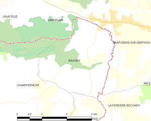
Ravigny
- commune in Mayenne, France
- Country:
- Postal Code: 61420
- Coordinates: 48° 26' 50" N, 0° 3' 43" E
- GPS tracks (wikiloc): [Link]
- Area: 6.54 sq km
- Population: 234


Saint-Pierre-des-Nids
- commune in Mayenne, France
- Country:
- Postal Code: 53370
- Coordinates: 48° 23' 56" N, 0° 5' 58" E
- GPS tracks (wikiloc): [Link]
- Area: 37.34 sq km
- Population: 1991
- Web site: [Link]


Pacé
- commune in Orne, France
- Country:
- Postal Code: 61250
- Coordinates: 48° 26' 44" N, 0° 0' 14" E
- GPS tracks (wikiloc): [Link]
- AboveSeaLevel: 160 м m
- Area: 7.56 sq km
- Population: 348


Mieuxcé
- commune in Orne, France
- Country:
- Postal Code: 61250
- Coordinates: 48° 24' 1" N, 0° 0' 40" E
- GPS tracks (wikiloc): [Link]
- Area: 10.36 sq km
- Population: 625


Saint-Denis-sur-Sarthon
- commune in Orne, France
- Country:
- Postal Code: 61420
- Coordinates: 48° 27' 24" N, 0° 3' 3" E
- GPS tracks (wikiloc): [Link]
- Area: 13.81 sq km
- Population: 1097
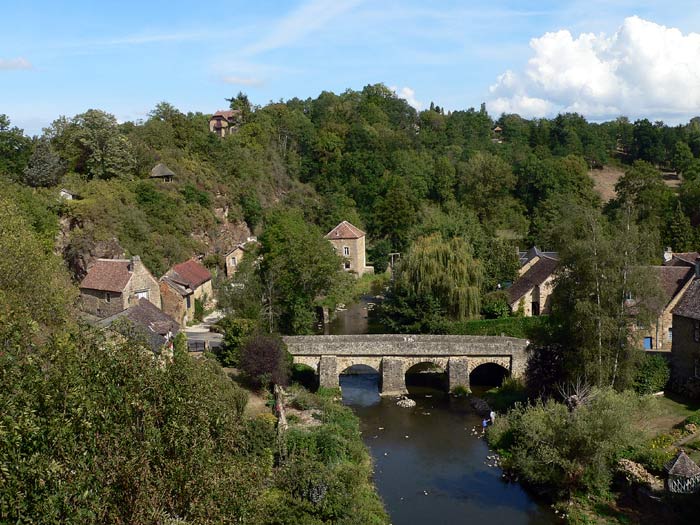
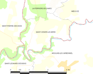
Saint-Céneri-le-Gérei
- commune in Orne, France
- Country:
- Postal Code: 61250
- Coordinates: 48° 22' 48" N, 0° 3' 10" E
- GPS tracks (wikiloc): [Link]
- Area: 3.86 sq km
- Population: 121
- Web site: [Link]