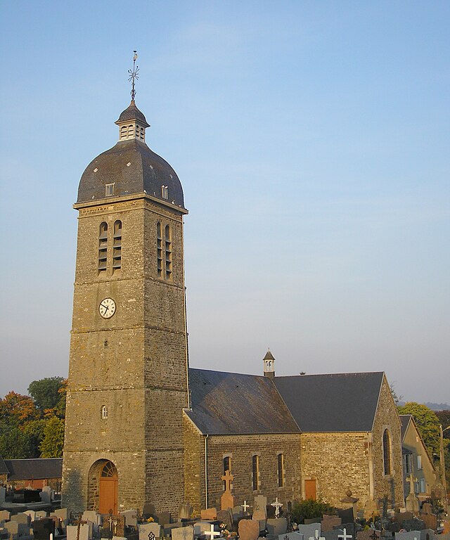
La Ferrière-Harang (La Ferrière-Harang)

- former commune in Calvados, France
- Country:

- Postal Code: 14350
- Coordinates: 48° 58' 30" N, 0° 53' 27" E


- GPS tracks (wikiloc): [Link]
- Area: 11.43 sq km
- Population: 315
- Wikipedia en: wiki(en)
- Wikipedia: wiki(fr)
- Wikidata storage: Wikidata: Q1013687
- Wikipedia Commons Category: [Link]
- Freebase ID: [/m/02w_g1]
- Freebase ID: [/m/02w_g1]
- GeoNames ID: Alt: [6455559]
- GeoNames ID: Alt: [6455559]
- BnF ID: [152476789]
- BnF ID: [152476789]
- WOEID: [598146]
- WOEID: [598146]
- INSEE municipality code: 14264
- INSEE municipality code: 14264
Shares border with regions:


Mont-Bertrand
- former commune in Calvados, France
- Country:
- Postal Code: 14350
- Coordinates: 48° 57' 59" N, 0° 55' 0" E
- GPS tracks (wikiloc): [Link]
- Area: 6.33 sq km
- Population: 239


Saint-Denis-Maisoncelles
- former commune in Calvados, France
- Country:
- Postal Code: 14350
- Coordinates: 48° 58' 54" N, 0° 51' 32" E
- GPS tracks (wikiloc): [Link]
- Area: 2.36 sq km
- Population: 107


Campeaux
- former commune in Calvados, France
- Country:
- Postal Code: 14350
- Coordinates: 48° 57' 3" N, 0° 55' 53" E
- GPS tracks (wikiloc): [Link]
- Area: 8.43 sq km
- Population: 581
- Web site: [Link]
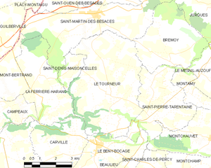
Le Tourneur
- former commune in Calvados, France
- Country:
- Postal Code: 14350
- Coordinates: 48° 57' 49" N, 0° 49' 24" E
- GPS tracks (wikiloc): [Link]
- Area: 23.02 sq km
- Population: 634

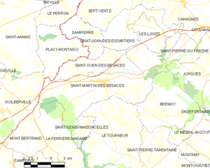
Saint-Martin-des-Besaces
- former commune in Calvados, France
- Country:
- Postal Code: 14350
- Coordinates: 49° 0' 40" N, 0° 50' 46" E
- GPS tracks (wikiloc): [Link]
- Area: 22.03 sq km
- Population: 1176
- Web site: [Link]


Carville
- former commune in Calvados, France
- Country:
- Postal Code: 14350
- Coordinates: 48° 55' 47" N, 0° 51' 33" E
- GPS tracks (wikiloc): [Link]
- Area: 10.43 sq km
- Population: 342
- Web site: [Link]