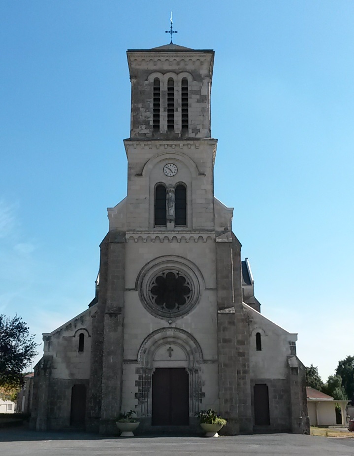
La Guyonnière (La Guyonnière)

- commune in Vendée, France
- Country:

- Postal Code: 85600
- Coordinates: 46° 57' 56" N, 1° 14' 59" E


- GPS tracks (wikiloc): [Link]
- Area: 22.84 sq km
- Population: 2733
- Web site: http://www.laguyonniere.fr/
- Wikipedia en: wiki(en)
- Wikipedia: wiki(fr)
- Wikidata storage: Wikidata: Q277962
- Wikipedia Commons Category: [Link]
- Freebase ID: [/m/03qltp8]
- GeoNames ID: Alt: [3008820]
- SIREN number: [218501070]
- BnF ID: [152782333]
- INSEE municipality code: 85107
Shares border with regions:


La Boissière-de-Montaigu
- commune in Vendée, France
- Country:
- Postal Code: 85600
- Coordinates: 46° 57' 3" N, 1° 11' 29" E
- GPS tracks (wikiloc): [Link]
- Area: 29.1 sq km
- Population: 2270
- Web site: [Link]
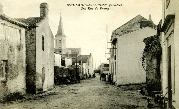

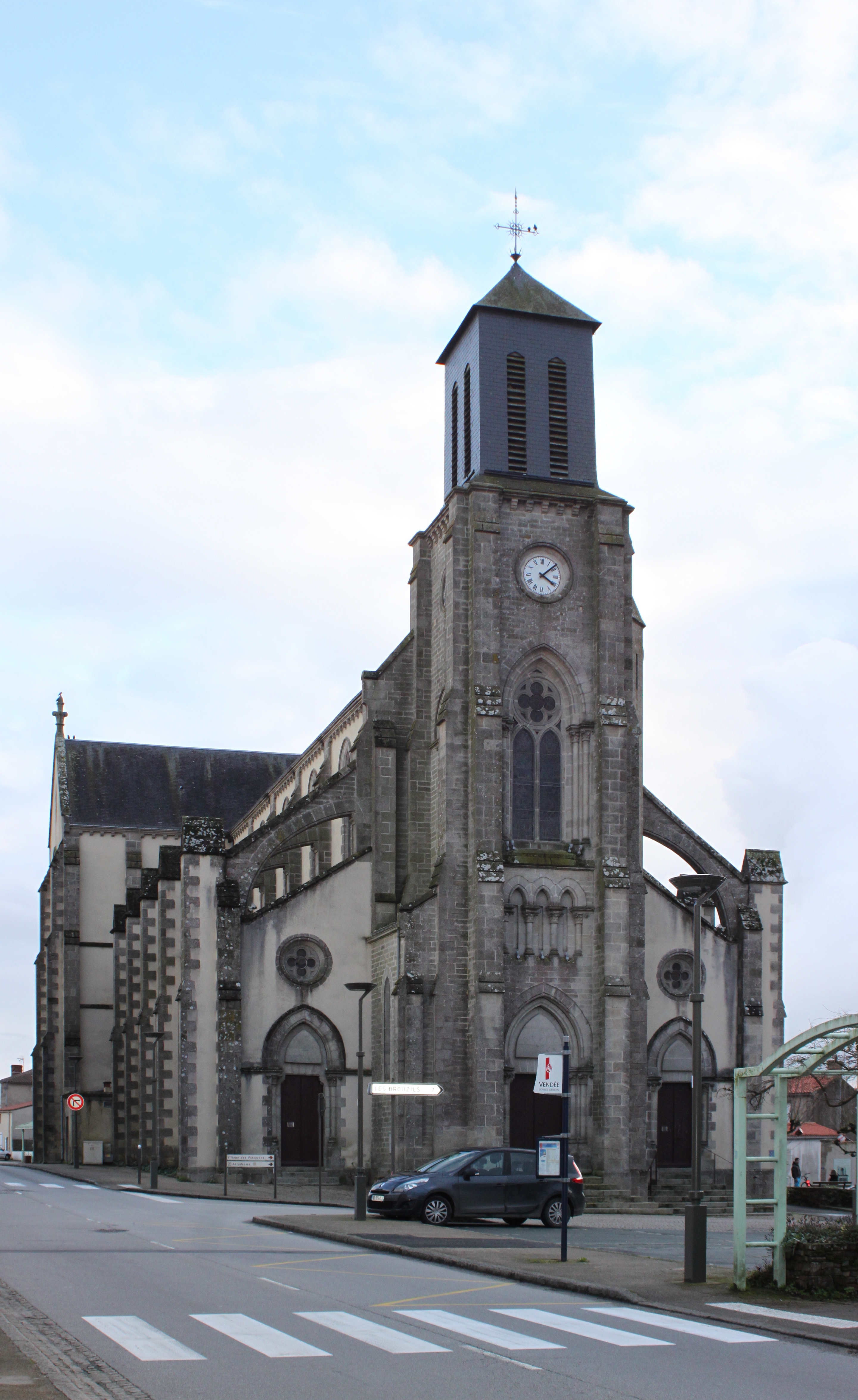
Saint-Hilaire-de-Loulay
- commune in Vendée, France
- Country:
- Postal Code: 85600
- Coordinates: 47° 0' 11" N, 1° 19' 51" E
- GPS tracks (wikiloc): [Link]
- Area: 40.62 sq km
- Population: 4493

Saint-Georges-de-Montaigu
- commune in Vendée, France
- Country:
- Postal Code: 85600
- Coordinates: 46° 56' 49" N, 1° 17' 41" E
- GPS tracks (wikiloc): [Link]
- Area: 33.61 sq km
- Population: 4248
- Web site: [Link]

Treize-Septiers
- commune in Vendée, France
- Country:
- Postal Code: 85600
- Coordinates: 46° 59' 4" N, 1° 13' 49" E
- GPS tracks (wikiloc): [Link]
- Area: 21.84 sq km
- Population: 3144
- Web site: [Link]


Montaigu
- commune in Vendée, France
- Country:
- Postal Code: 85600
- Coordinates: 46° 58' 22" N, 1° 18' 36" E
- GPS tracks (wikiloc): [Link]
- Area: 3.03 sq km
- Population: 5180
- Web site: [Link]