La Haye-Malherbe (La Haye-Malherbe)

- commune in Eure, France
- Country:

- Postal Code: 27400
- Coordinates: 49° 13' 31" N, 1° 4' 4" E


- GPS tracks (wikiloc): [Link]
- AboveSeaLevel: 161 м m
- Area: 9.93 sq km
- Population: 1423
- Wikipedia en: wiki(en)
- Wikipedia: wiki(fr)
- Wikidata storage: Wikidata: Q1070079
- Wikipedia Commons Category: [Link]
- Freebase ID: [/m/03nqjrq]
- Freebase ID: [/m/03nqjrq]
- GeoNames ID: Alt: [6455776]
- GeoNames ID: Alt: [6455776]
- SIREN number: [212703227]
- SIREN number: [212703227]
- BnF ID: [15253558n]
- BnF ID: [15253558n]
- VIAF ID: Alt: [153776577]
- VIAF ID: Alt: [153776577]
- Library of Congress authority ID: Alt: [n97018756]
- Library of Congress authority ID: Alt: [n97018756]
- PACTOLS thesaurus ID: [pcrtPaSeL6vgFz]
- PACTOLS thesaurus ID: [pcrtPaSeL6vgFz]
- INSEE municipality code: 27322
- INSEE municipality code: 27322
Shares border with regions:


Montaure
- former commune in Eure, France
- Country:
- Postal Code: 27400
- Coordinates: 49° 14' 7" N, 1° 5' 13" E
- GPS tracks (wikiloc): [Link]
- Area: 10.16 sq km
- Population: 1071
Martot
- commune in Eure, France
- Country:
- Postal Code: 27340
- Coordinates: 49° 17' 42" N, 1° 3' 54" E
- GPS tracks (wikiloc): [Link]
- Area: 8.48 sq km
- Population: 579
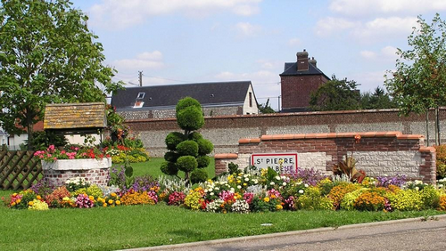

Saint-Pierre-lès-Elbeuf
- commune in Seine-Maritime, France
- Country:
- Postal Code: 76320
- Coordinates: 49° 16' 39" N, 1° 2' 26" E
- GPS tracks (wikiloc): [Link]
- AboveSeaLevel: 20 м m
- Area: 6.36 sq km
- Population: 8251
- Web site: [Link]
Crasville
- commune in Eure, France
- Country:
- Postal Code: 27400
- Coordinates: 49° 12' 28" N, 1° 4' 25" E
- GPS tracks (wikiloc): [Link]
- Area: 2.45 sq km
- Population: 127