La Jarrie-Audouin (La Jarrie-Audouin)

- commune in Charente-Maritime, France
- Country:

- Postal Code: 17330
- Coordinates: 46° 1' 42" N, 0° 29' 21" E


- GPS tracks (wikiloc): [Link]
- Area: 8.41 sq km
- Population: 273
- Web site: http://lajarrieaudouin.monclocher.com
- Wikipedia en: wiki(en)
- Wikipedia: wiki(fr)
- Wikidata storage: Wikidata: Q1095429
- Wikipedia Commons Category: [Link]
- Freebase ID: [/m/03mchkc]
- GeoNames ID: Alt: [6455640]
- SIREN number: [211701958]
- BnF ID: [15249056t]
- INSEE municipality code: 17195
Shares border with regions:


Antezant-la-Chapelle
- commune in Charente-Maritime, France
- Country:
- Postal Code: 17400
- Coordinates: 45° 58' 57" N, 0° 27' 23" E
- GPS tracks (wikiloc): [Link]
- AboveSeaLevel: 30 м m
- Area: 18.63 sq km
- Population: 356


Saint-Pierre-de-l'Isle
- commune in Charente-Maritime, France
- Country:
- Postal Code: 17330
- Coordinates: 46° 1' 48" N, 0° 26' 40" E
- GPS tracks (wikiloc): [Link]
- Area: 6.43 sq km
- Population: 262


Saint-Martial
- commune in Charente-Maritime, France
- Country:
- Postal Code: 17330
- Coordinates: 46° 3' 6" N, 0° 26' 53" E
- GPS tracks (wikiloc): [Link]
- Area: 4.07 sq km
- Population: 120
- Web site: [Link]


Loulay
- commune in Charente-Maritime, France
- Country:
- Postal Code: 17330
- Coordinates: 46° 2' 49" N, 0° 30' 44" E
- GPS tracks (wikiloc): [Link]
- Area: 7.3 sq km
- Population: 791
- Web site: [Link]


Coivert
- commune in Charente-Maritime, France
- Country:
- Postal Code: 17330
- Coordinates: 46° 4' 11" N, 0° 27' 32" E
- GPS tracks (wikiloc): [Link]
- Area: 14.78 sq km
- Population: 219

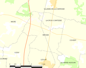
Vergné
- commune in Charente-Maritime, France
- Country:
- Postal Code: 17330
- Coordinates: 46° 4' 30" N, 0° 30' 41" E
- GPS tracks (wikiloc): [Link]
- Area: 8 sq km
- Population: 141