La Vergne (La Vergne)

- commune in Charente-Maritime, France
- Country:

- Postal Code: 17400
- Coordinates: 45° 57' 44" N, 0° 33' 53" E


- GPS tracks (wikiloc): [Link]
- Area: 13.97 sq km
- Population: 592
- Web site: http://www.la-vergne.fr
- Wikipedia en: wiki(en)
- Wikipedia: wiki(fr)
- Wikidata storage: Wikidata: Q1084351
- Wikipedia Commons Category: [Link]
- Freebase ID: [/m/03mcl75]
- SIREN number: [211704655]
- BnF ID: [15249325c]
- INSEE municipality code: 17465
Shares border with regions:

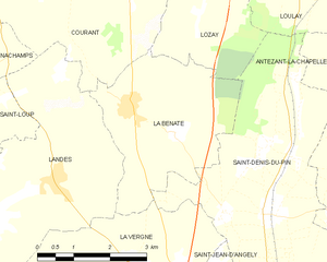
La Benâte
- former commune in Charente-Maritime, France
- Country:
- Postal Code: 17400
- Coordinates: 46° 0' 44" N, 0° 34' 18" E
- GPS tracks (wikiloc): [Link]
- Area: 11.07 sq km
- Population: 420


Saint-Denis-du-Pin
- former commune in Charente-Maritime, France
- Country:
- Postal Code: 17400
- Coordinates: 45° 59' 10" N, 0° 31' 17" E
- GPS tracks (wikiloc): [Link]
- AboveSeaLevel: 43 м m
- Area: 19.16 sq km
- Population: 751

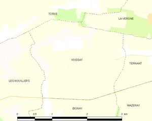
Voissay
- commune in Charente-Maritime, France
- Country:
- Postal Code: 17400
- Coordinates: 45° 57' 8" N, 0° 36' 20" E
- GPS tracks (wikiloc): [Link]
- Area: 5.06 sq km
- Population: 161


Landes
- commune in Charente-Maritime, France
- Country:
- Postal Code: 17380
- Coordinates: 45° 59' 32" N, 0° 35' 51" E
- GPS tracks (wikiloc): [Link]
- Area: 16.05 sq km
- Population: 612


Ternant
- commune in Charente-Maritime, France
- Country:
- Postal Code: 17400
- Coordinates: 45° 56' 58" N, 0° 34' 27" E
- GPS tracks (wikiloc): [Link]
- Area: 5.61 sq km
- Population: 374

Saint-Jean-d'Angély
- commune in Charente-Maritime, France
- Country:
- Postal Code: 17400
- Coordinates: 45° 56' 39" N, 0° 31' 16" E
- GPS tracks (wikiloc): [Link]
- Area: 18.78 sq km
- Population: 7106
- Web site: [Link]


Torxé
- commune in Charente-Maritime, France
- Country:
- Postal Code: 17380
- Coordinates: 45° 57' 11" N, 0° 37' 34" E
- GPS tracks (wikiloc): [Link]
- Area: 11.43 sq km
- Population: 211