Lacropte (Lacropte)
- commune in Dordogne, France
- Country:

- Postal Code: 24380
- Coordinates: 45° 2' 12" N, 0° 49' 52" E


- GPS tracks (wikiloc): [Link]
- Area: 26.23 sq km
- Population: 660
- Web site: http://www.lacropte.fr/
- Wikipedia en: wiki(en)
- Wikipedia: wiki(fr)
- Wikidata storage: Wikidata: Q175076
- Wikipedia Commons Category: [Link]
- Freebase ID: [/m/03mg6mc]
- Freebase ID: [/m/03mg6mc]
- GeoNames ID: Alt: [6429409]
- GeoNames ID: Alt: [6429409]
- SIREN number: [212402200]
- SIREN number: [212402200]
- BnF ID: [15251867z]
- BnF ID: [15251867z]
- INSEE municipality code: 24220
- INSEE municipality code: 24220
Shares border with regions:


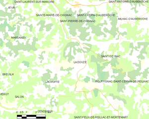
La Douze
- commune in Dordogne, France
- Country:

- Postal Code: 24330
- Coordinates: 45° 3' 41" N, 0° 51' 49" E


- GPS tracks (wikiloc): [Link]
- Area: 23.05 sq km
- Population: 1133
- Web site: [Link]


Cendrieux
- former commune in Dordogne, France
- Country:

- Postal Code: 24380
- Coordinates: 44° 59' 46" N, 0° 49' 22" E


- GPS tracks (wikiloc): [Link]
- Area: 30.23 sq km
- Population: 581
- Web site: [Link]


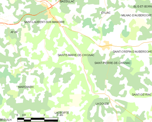
Sainte-Marie-de-Chignac
- former commune in Dordogne, France
- Country:

- Postal Code: 24330
- Coordinates: 45° 7' 51" N, 0° 49' 44" E


- GPS tracks (wikiloc): [Link]
- Area: 11.8 sq km
- Population: 587


Marsaneix
- former commune in Dordogne, France
- Country:

- Postal Code: 24750
- Coordinates: 45° 5' 55" N, 0° 47' 4" E


- GPS tracks (wikiloc): [Link]
- Area: 23.85 sq km
- Population: 1102
