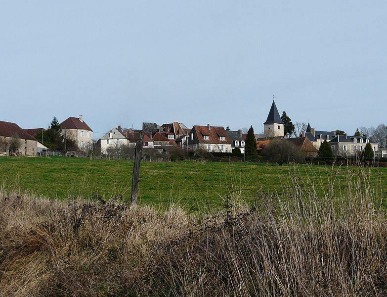
Lanouaille (Lanouaille)

- commune in Dordogne, France
- Country:

- Postal Code: 24270
- Coordinates: 45° 23' 31" N, 1° 8' 17" E


- GPS tracks (wikiloc): [Link]
- Area: 23.78 sq km
- Population: 1015
- Wikipedia en: wiki(en)
- Wikipedia: wiki(fr)
- Wikidata storage: Wikidata: Q470789
- Wikipedia Commons Category: [Link]
- Freebase ID: [/m/03d4sc4]
- Freebase ID: [/m/03d4sc4]
- GeoNames ID: Alt: [3007581]
- GeoNames ID: Alt: [3007581]
- SIREN number: [212402275]
- SIREN number: [212402275]
- BnF ID: [152518747]
- BnF ID: [152518747]
- VIAF ID: Alt: [134141947]
- VIAF ID: Alt: [134141947]
- GND ID: Alt: [7725436-3]
- GND ID: Alt: [7725436-3]
- INSEE municipality code: 24227
- INSEE municipality code: 24227
Shares border with regions:

Génis
- commune in Dordogne, France
- Country:
- Postal Code: 24160
- Coordinates: 45° 19' 34" N, 1° 9' 49" E
- GPS tracks (wikiloc): [Link]
- Area: 25.92 sq km
- Population: 459
- Web site: [Link]

Angoisse
- commune in Dordogne, France
- Country:
- Postal Code: 24270
- Coordinates: 45° 25' 38" N, 1° 8' 14" E
- GPS tracks (wikiloc): [Link]
- Area: 23.13 sq km
- Population: 622


Dussac
- commune in Dordogne, France
- Country:
- Postal Code: 24270
- Coordinates: 45° 23' 44" N, 1° 4' 54" E
- GPS tracks (wikiloc): [Link]
- Area: 20.26 sq km
- Population: 406

Anlhiac
- commune in Dordogne, France
- Country:
- Postal Code: 24160
- Coordinates: 45° 19' 18" N, 1° 7' 34" E
- GPS tracks (wikiloc): [Link]
- Area: 11.86 sq km
- Population: 279
- Web site: [Link]