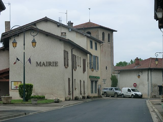
Lapeyrouse (Lapeyrouse)
- commune in Ain, France
- Country:

- Postal Code: 01330
- Coordinates: 45° 59' 0" N, 4° 58' 36" E


- GPS tracks (wikiloc): [Link]
- Area: 20.04 sq km
- Population: 332
- Web site: http://www.lapeyrousse.fr
- Wikipedia en: wiki(en)
- Wikipedia: wiki(fr)
- Wikidata storage: Wikidata: Q859323
- Wikipedia Commons Category: [Link]
- Wikipedia Commons Maps Category: [Link]
- Freebase ID: [/m/0blt4w]
- Freebase ID: [/m/0blt4w]
- GeoNames ID: Alt: [6453503]
- GeoNames ID: Alt: [6453503]
- SIREN number: [210102075]
- SIREN number: [210102075]
- INSEE municipality code: 01207
- INSEE municipality code: 01207
Shares border with regions:

Villars-les-Dombes
- commune in Ain, France
- Country:
- Postal Code: 01330
- Coordinates: 46° 0' 9" N, 5° 1' 47" E
- GPS tracks (wikiloc): [Link]
- Area: 24.65 sq km
- Population: 4460
- Web site: [Link]


Ambérieux-en-Dombes
- commune in Ain, France
- Country:
- Postal Code: 01330
- Coordinates: 45° 59' 54" N, 4° 54' 10" E
- GPS tracks (wikiloc): [Link]
- Area: 15.92 sq km
- Population: 1619
- Web site: [Link]
Bouligneux
- commune in Ain, France
- Country:
- Postal Code: 01330
- Coordinates: 46° 1' 22" N, 4° 59' 30" E
- GPS tracks (wikiloc): [Link]
- Area: 26.09 sq km
- Population: 309

Monthieux
- commune in Ain, France
- Country:
- Postal Code: 01390
- Coordinates: 45° 57' 26" N, 4° 56' 25" E
- GPS tracks (wikiloc): [Link]
- Area: 10.75 sq km
- Population: 651
- Web site: [Link]

Birieux
- commune in Ain, France
- Country:
- Postal Code: 01330
- Coordinates: 45° 57' 10" N, 5° 2' 25" E
- GPS tracks (wikiloc): [Link]
- Area: 15.83 sq km
- Population: 287

Sainte-Olive
- commune in Ain, France
- Country:
- Postal Code: 01330
- Coordinates: 46° 1' 7" N, 4° 56' 1" E
- GPS tracks (wikiloc): [Link]
- Area: 7.39 sq km
- Population: 287

Saint-Marcel
- commune in Ain, France
- Country:
- Postal Code: 01390
- Coordinates: 45° 56' 55" N, 4° 59' 14" E
- GPS tracks (wikiloc): [Link]
- Area: 11.64 sq km
- Population: 1327
- Web site: [Link]