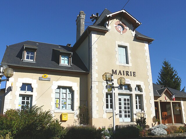
Latronche (Latronche)
- commune in Corrèze, France
- Country:

- Postal Code: 19160
- Coordinates: 45° 17' 42" N, 2° 13' 40" E


- GPS tracks (wikiloc): [Link]
- Area: 19.79 sq km
- Population: 142
- Wikipedia en: wiki(en)
- Wikipedia: wiki(fr)
- Wikidata storage: Wikidata: Q644058
- Wikipedia Commons Category: [Link]
- Freebase ID: [/m/03mfzly]
- GeoNames ID: Alt: [6428349]
- SIREN number: [211911003]
- BnF ID: [15249746f]
- PACTOLS thesaurus ID: [pcrtmAmX4cwQzk]
- INSEE municipality code: 19110
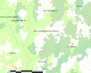
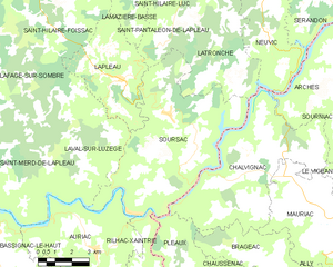
Shares border with regions:


Saint-Pantaléon-de-Lapleau
- commune in Corrèze, France
- Country:

- Postal Code: 19160
- Coordinates: 45° 19' 23" N, 2° 12' 17" E


- GPS tracks (wikiloc): [Link]
- Area: 8.46 sq km
- Population: 69


Neuvic
- commune in Corrèze, France
- Country:

- Postal Code: 19160
- Coordinates: 45° 22' 52" N, 2° 16' 16" E


- GPS tracks (wikiloc): [Link]
- Area: 72.88 sq km
- Population: 1689
- Web site: [Link]


Saint-Hilaire-Luc
- commune in Corrèze, France
- Country:

- Postal Code: 19160
- Coordinates: 45° 21' 45" N, 2° 12' 15" E


- GPS tracks (wikiloc): [Link]
- Area: 10.84 sq km
- Population: 73


Soursac
- commune in Corrèze, France
- Country:

- Postal Code: 19550
- Coordinates: 45° 16' 31" N, 2° 12' 4" E


- GPS tracks (wikiloc): [Link]
- Area: 42.8 sq km
- Population: 498


Chalvignac
- commune in Cantal, France
- Country:

- Postal Code: 15200
- Coordinates: 45° 14' 25" N, 2° 14' 46" E


- GPS tracks (wikiloc): [Link]
- Area: 35.89 sq km
- Population: 445
