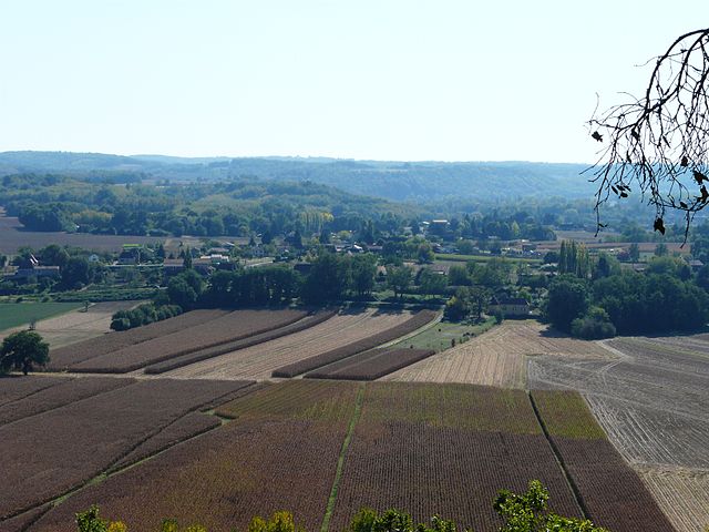
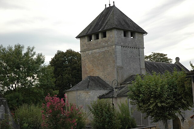
Le Buisson-de-Cadouin (Le Buisson-de-Cadouin)
- commune in Dordogne, France
- Country:

- Postal Code: 24480
- Coordinates: 44° 50' 43" N, 0° 54' 35" E


- GPS tracks (wikiloc): [Link]
- Area: 50.37 sq km
- Population: 1999
- Web site: http://www.lebuissondecadouin.fr/index.html
- Wikipedia en: wiki(en)
- Wikipedia: wiki(fr)
- Wikidata storage: Wikidata: Q634086
- Wikipedia Commons Category: [Link]
- Freebase ID: [/m/02vmfq3]
- Freebase ID: [/m/02vmfq3]
- GeoNames ID: Alt: [3004929]
- GeoNames ID: Alt: [3004929]
- SIREN number: [212400683]
- SIREN number: [212400683]
- BnF ID: [15251719t]
- BnF ID: [15251719t]
- VIAF ID: Alt: [1685145424642886830778]
- VIAF ID: Alt: [1685145424642886830778]
- PACTOLS thesaurus ID: [pcrtrgbN6IUS9v]
- PACTOLS thesaurus ID: [pcrtrgbN6IUS9v]
- INSEE municipality code: 24068
- INSEE municipality code: 24068
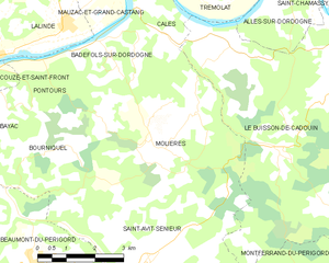
Shares border with regions:


Calès
- commune in Dordogne, France
- Country:

- Postal Code: 24150
- Coordinates: 44° 51' 24" N, 0° 48' 45" E


- GPS tracks (wikiloc): [Link]
- Area: 8.02 sq km
- Population: 398


Montferrand-du-Périgord
- commune in Dordogne, France
- Country:

- Postal Code: 24440
- Coordinates: 44° 45' 3" N, 0° 51' 58" E


- GPS tracks (wikiloc): [Link]
- Area: 13.1 sq km
- Population: 158
- Web site: [Link]


Molières
- commune in Dordogne, France
- Country:

- Postal Code: 24480
- Coordinates: 44° 48' 38" N, 0° 49' 26" E


- GPS tracks (wikiloc): [Link]
- Area: 21.22 sq km
- Population: 326
- Web site: [Link]


Bouillac
- commune in Dordogne, France
- Country:

- Postal Code: 24480
- Coordinates: 44° 45' 35" N, 0° 55' 10" E


- GPS tracks (wikiloc): [Link]
- Area: 12.34 sq km
- Population: 127


Alles-sur-Dordogne
- commune in Dordogne, France
- Country:

- Postal Code: 24480
- Coordinates: 44° 51' 31" N, 0° 52' 3" E


- GPS tracks (wikiloc): [Link]
- Area: 9.41 sq km
- Population: 379
- Web site: [Link]
