Le Lion-d'Angers (Le Lion-d'Angers)

- commune in Maine-et-Loire, France
- Country:

- Postal Code: 49220
- Coordinates: 47° 37' 40" N, 0° 42' 47" E


- GPS tracks (wikiloc): [Link]
- Area: 41.11 sq km
- Population: 4077
- Wikipedia en: wiki(en)
- Wikipedia: wiki(fr)
- Wikidata storage: Wikidata: Q1163281
- Wikipedia Commons Category: [Link]
- Freebase ID: [/m/03x_svc]
- GeoNames ID: Alt: [6456070]
- BnF ID: [152617776]
- VIAF ID: Alt: [125937211]
- Library of Congress authority ID: Alt: [nr91027847]
- PACTOLS thesaurus ID: [pcrtvw6pKPzKU5]
- WOEID: [603334]
- INSEE municipality code: 49176
Shares border with regions:


Brain-sur-Longuenée
- former commune in Maine-et-Loire, France
- Country:
- Postal Code: 49220
- Coordinates: 47° 35' 5" N, 0° 45' 44" E
- GPS tracks (wikiloc): [Link]
- Area: 22.43 sq km
- Population: 947
- Web site: [Link]


Gené
- former commune in Maine-et-Loire, France
- Country:
- Postal Code: 49220
- Coordinates: 47° 37' 51" N, 0° 48' 12" E
- GPS tracks (wikiloc): [Link]
- Area: 9.25 sq km
- Population: 487


Andigné
- former commune in Maine-et-Loire, France
- Country:
- Postal Code: 49220
- Coordinates: 47° 39' 56" N, 0° 46' 51" E
- GPS tracks (wikiloc): [Link]
- Area: 6.63 sq km
- Population: 410


Saint-Martin-du-Bois
- former commune in Maine-et-Loire, France
- Country:
- Postal Code: 49500
- Coordinates: 47° 42' 22" N, 0° 44' 31" E
- GPS tracks (wikiloc): [Link]
- Area: 21.73 sq km
- Population: 988


Louvaines
- former commune in Maine-et-Loire, France
- Country:
- Postal Code: 49500
- Coordinates: 47° 41' 30" N, 0° 48' 9" E
- GPS tracks (wikiloc): [Link]
- Area: 15.07 sq km
- Population: 501

Montreuil-sur-Maine
- commune in Maine-et-Loire, France
- Country:
- Postal Code: 49220
- Coordinates: 47° 39' 1" N, 0° 41' 48" E
- GPS tracks (wikiloc): [Link]
- Area: 11.13 sq km
- Population: 729


Thorigné-d'Anjou
- commune in Maine-et-Loire, France
- Country:
- Postal Code: 49220
- Coordinates: 47° 38' 21" N, 0° 39' 47" E
- GPS tracks (wikiloc): [Link]
- Area: 16.45 sq km
- Population: 1217


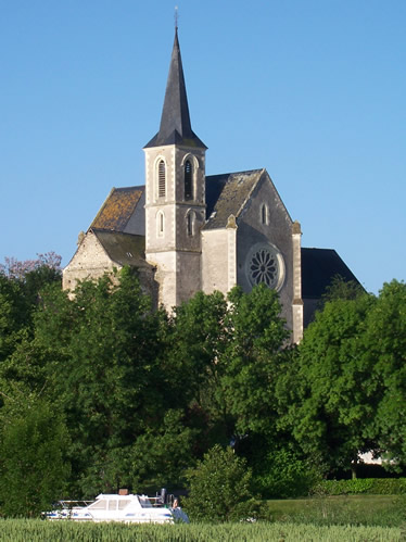
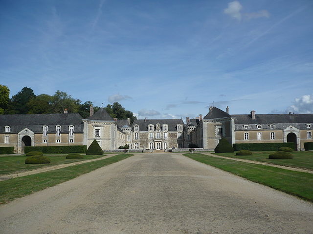
Grez-Neuville
- commune in Maine-et-Loire, France
- Country:
- Postal Code: 49220
- Coordinates: 47° 36' 10" N, 0° 40' 53" E
- GPS tracks (wikiloc): [Link]
- Area: 26.9 sq km
- Population: 1459
- Web site: [Link]

La Chapelle-sur-Oudon
- former commune in Maine-et-Loire, France
- Country:
- Postal Code: 49500
- Coordinates: 47° 40' 43" N, 0° 49' 35" E
- GPS tracks (wikiloc): [Link]
- Area: 12.73 sq km
- Population: 572