arrondissement of Segré (arrondissement de Segré)

- arrondissement of France
- Country:

- Coordinates: 47° 40' 0" N, 0° 50' 0" E


- GPS tracks (wikiloc): [Link]
- Area: 1164 sq km
- Population: 71632
- Wikipedia en: wiki(en)
- Wikipedia: wiki(fr)
- Wikidata storage: Wikidata: Q702522
- Freebase ID: [/m/095c0y]
- GeoNames ID: Alt: [2975313]
- INSEE arrondissement code: [494]
- GNS Unique Feature ID: -1470158
Includes regions:


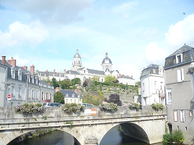
canton of Châteauneuf-sur-Sarthe
- canton of France
- Country:
- Capital: Châteauneuf-sur-Sarthe
- Coordinates: 47° 41' 35" N, 0° 33' 41" E
- GPS tracks (wikiloc): [Link]

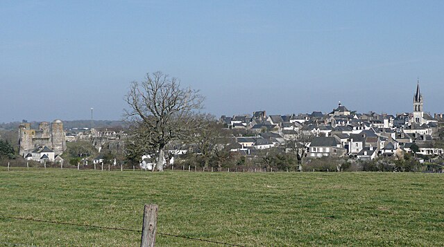
canton of Le Lion-d'Angers
- canton of France
- Country:
- Capital: Le Lion-d'Angers
- Coordinates: 47° 37' 40" N, 0° 44' 10" E
- GPS tracks (wikiloc): [Link]

canton of Segré
- canton of France
- Country:
- Coordinates: 47° 42' 24" N, 0° 51' 16" E
- GPS tracks (wikiloc): [Link]
- Population: 35840