Le Plessis-Grimoult (Le Plessis-Grimoult)

- former commune in Calvados, France
- Country:

- Postal Code: 14770
- Coordinates: 48° 57' 41" N, 0° 36' 35" E


- GPS tracks (wikiloc): [Link]
- Area: 16.15 sq km
- Population: 324
- Wikipedia en: wiki(en)
- Wikipedia: wiki(fr)
- Wikidata storage: Wikidata: Q1014202
- Wikipedia Commons Category: [Link]
- Freebase ID: [/m/031q_b]
- Freebase ID: [/m/031q_b]
- GeoNames ID: Alt: [3002668]
- GeoNames ID: Alt: [3002668]
- BnF ID: [152479188]
- BnF ID: [152479188]
- PACTOLS thesaurus ID: [pcrtLN4wobFidT]
- PACTOLS thesaurus ID: [pcrtLN4wobFidT]
- INSEE municipality code: 14508
- INSEE municipality code: 14508
Shares border with regions:


Lénault
- former commune in Calvados, France
- Country:
- Postal Code: 14770
- Coordinates: 48° 55' 58" N, 0° 37' 44" E
- GPS tracks (wikiloc): [Link]
- Area: 6.67 sq km
- Population: 184

Roucamps
- former commune in Calvados, France
- Country:
- Postal Code: 14260
- Coordinates: 48° 59' 24" N, 0° 37' 18" E
- GPS tracks (wikiloc): [Link]
- Area: 5.41 sq km
- Population: 233

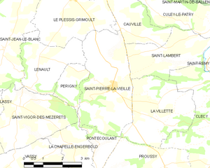
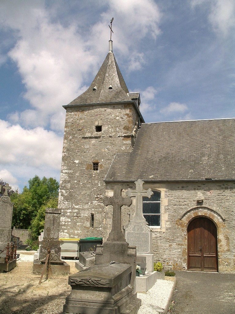
Saint-Pierre-la-Vieille
- former commune in Calvados, France
- Country:
- Postal Code: 14770
- Coordinates: 48° 55' 8" N, 0° 34' 35" E
- GPS tracks (wikiloc): [Link]
- Area: 12.43 sq km
- Population: 344

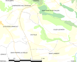
Cauville
- commune in Calvados, France
- Country:
- Postal Code: 14770
- Coordinates: 48° 56' 50" N, 0° 34' 22" E
- GPS tracks (wikiloc): [Link]
- Area: 5.76 sq km
- Population: 156


Saint-Jean-le-Blanc
- former commune in Calvados, France
- Country:
- Postal Code: 14770
- Coordinates: 48° 56' 8" N, 0° 39' 13" E
- GPS tracks (wikiloc): [Link]
- Area: 15.12 sq km
- Population: 355


Campandré-Valcongrain
- former commune in Calvados, France
- Country:
- Postal Code: 14260
- Coordinates: 48° 58' 37" N, 0° 35' 10" E
- GPS tracks (wikiloc): [Link]
- Area: 6.57 sq km
- Population: 103