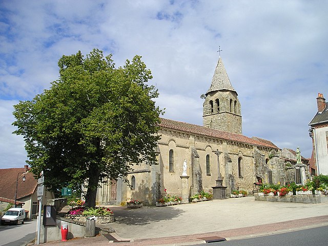
Le Theil (Le Theil)
- commune in Allier, France
- Country:

- Postal Code: 03240
- Coordinates: 46° 21' 18" N, 3° 8' 3" E


- GPS tracks (wikiloc): [Link]
- Area: 28.92 sq km
- Population: 409
- Wikipedia en: wiki(en)
- Wikipedia: wiki(fr)
- Wikidata storage: Wikidata: Q655428
- Wikipedia Commons Category: [Link]
- Freebase ID: [/m/03m5ynb]
- Freebase ID: [/m/03m5ynb]
- GeoNames ID: Alt: [6618112]
- GeoNames ID: Alt: [6618112]
- SIREN number: [210302816]
- SIREN number: [210302816]
- INSEE municipality code: 03281
- INSEE municipality code: 03281
Shares border with regions:

Tronget
- commune in Allier, France
- Country:
- Postal Code: 03240
- Coordinates: 46° 25' 21" N, 3° 4' 5" E
- GPS tracks (wikiloc): [Link]
- Area: 31.06 sq km
- Population: 911
- Web site: [Link]
Treban
- commune in Allier, France
- Country:
- Postal Code: 03240
- Coordinates: 46° 24' 16" N, 3° 10' 29" E
- GPS tracks (wikiloc): [Link]
- Area: 25.63 sq km
- Population: 401
Deux-Chaises
- commune in Allier, France
- Country:
- Postal Code: 03240
- Coordinates: 46° 22' 48" N, 3° 2' 15" E
- GPS tracks (wikiloc): [Link]
- Area: 41.01 sq km
- Population: 406
Voussac
- commune in Allier, France
- Country:
- Postal Code: 03140
- Coordinates: 46° 19' 40" N, 3° 3' 44" E
- GPS tracks (wikiloc): [Link]
- Area: 34.46 sq km
- Population: 473

Laféline
- commune in Allier, France
- Country:
- Postal Code: 03500
- Coordinates: 46° 20' 57" N, 3° 10' 6" E
- GPS tracks (wikiloc): [Link]
- Area: 23.1 sq km
- Population: 208

Fleuriel
- commune in Allier, France
- Country:
- Postal Code: 03140
- Coordinates: 46° 16' 54" N, 3° 10' 41" E
- GPS tracks (wikiloc): [Link]
- Area: 28.05 sq km
- Population: 337