Leforest (Leforest)
- commune in Pas-de-Calais, France
- Country:

- Postal Code: 62790
- Coordinates: 50° 26' 14" N, 3° 3' 51" E


- GPS tracks (wikiloc): [Link]
- Area: 6.22 sq km
- Population: 7056
- Wikipedia en: wiki(en)
- Wikipedia: wiki(fr)
- Wikidata storage: Wikidata: Q607550
- Wikipedia Commons Category: [Link]
- Freebase ID: [/m/025qw3]
- GeoNames ID: Alt: [6439661]
- SIREN number: [216204974]
- BnF ID: [15268938j]
- VIAF ID: Alt: [129220257]
- Library of Congress authority ID: Alt: [n2006036664]
- WOEID: [605078]
- INSEE municipality code: 62497
Shares border with regions:


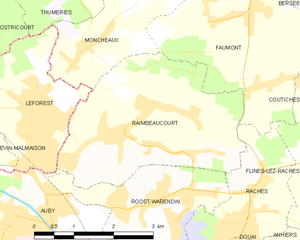
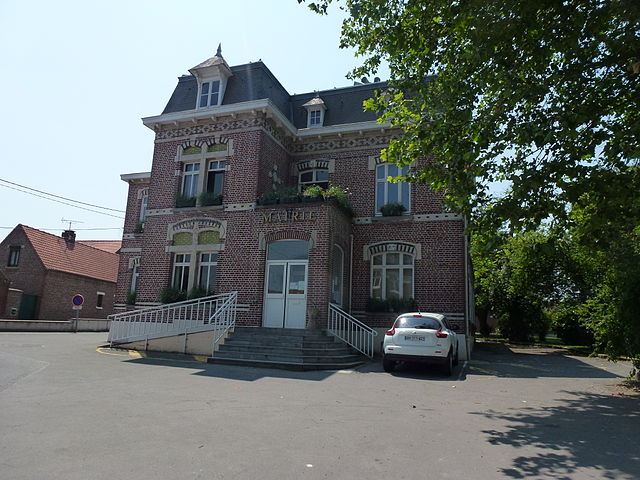
Raimbeaucourt
- commune in Nord, France
- Country:

- Postal Code: 59283
- Coordinates: 50° 26' 23" N, 3° 6' 9" E


- GPS tracks (wikiloc): [Link]
- Area: 11.08 sq km
- Population: 4056


Ostricourt
- commune in Nord, France
- Country:

- Postal Code: 59162
- Coordinates: 50° 27' 16" N, 3° 1' 51" E


- GPS tracks (wikiloc): [Link]
- Area: 7.6 sq km
- Population: 5387


Moncheaux
- commune in Nord, France
- Country:

- Postal Code: 59283
- Coordinates: 50° 27' 11" N, 3° 4' 46" E


- GPS tracks (wikiloc): [Link]
- Area: 4.97 sq km
- Population: 1486


Évin-Malmaison
- commune in Pas-de-Calais, France
- Country:

- Postal Code: 62141
- Coordinates: 50° 26' 18" N, 3° 2' 0" E


- GPS tracks (wikiloc): [Link]
- Area: 4.57 sq km
- Population: 4594
- Web site: [Link]


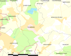
Thumeries
- commune in Nord, France
- Country:

- Postal Code: 59239
- Coordinates: 50° 28' 44" N, 3° 3' 18" E


- GPS tracks (wikiloc): [Link]
- Area: 7.03 sq km
- Population: 3942


Courcelles-lès-Lens
- commune in Pas-de-Calais, France
- Country:

- Postal Code: 62970
- Coordinates: 50° 25' 5" N, 3° 1' 5" E


- GPS tracks (wikiloc): [Link]
- Area: 5.56 sq km
- Population: 7462
- Web site: [Link]


Auby
- commune in Nord, France
- Country:

- Postal Code: 59950
- Coordinates: 50° 24' 55" N, 3° 3' 16" E


- GPS tracks (wikiloc): [Link]
- Area: 7.12 sq km
- Population: 7327
- Web site: [Link]
