Les Ulmes (Les Ulmes)

- commune in Maine-et-Loire, France
- Country:

- Postal Code: 49700
- Coordinates: 47° 13' 10" N, 0° 10' 42" E


- GPS tracks (wikiloc): [Link]
- Area: 8.1 sq km
- Population: 582
- Wikipedia en: wiki(en)
- Wikipedia: wiki(fr)
- Wikidata storage: Wikidata: Q646160
- Wikipedia Commons Category: [Link]
- Freebase ID: [/m/03w9k4p]
- GeoNames ID: Alt: [6456095]
- SIREN number: [214903593]
- BnF ID: [152619574]
- INSEE municipality code: 49359
Shares border with regions:


Cizay-la-Madeleine
- commune in Maine-et-Loire, France
- Country:
- Postal Code: 49700
- Coordinates: 47° 11' 19" N, 0° 11' 14" E
- GPS tracks (wikiloc): [Link]
- Area: 19.29 sq km
- Population: 476

Forges
- former commune in Maine-et-Loire, France
- Country:
- Postal Code: 49700
- Coordinates: 47° 13' 8" N, 0° 14' 40" E
- GPS tracks (wikiloc): [Link]
- Area: 9.01 sq km
- Population: 287
- Web site: [Link]

Distré
- commune in Maine-et-Loire, France
- Country:
- Postal Code: 49400
- Coordinates: 47° 13' 26" N, 0° 6' 42" E
- GPS tracks (wikiloc): [Link]
- Area: 14.72 sq km
- Population: 1671

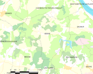
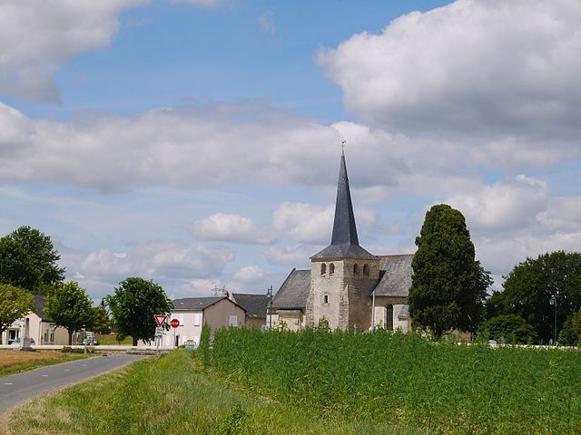
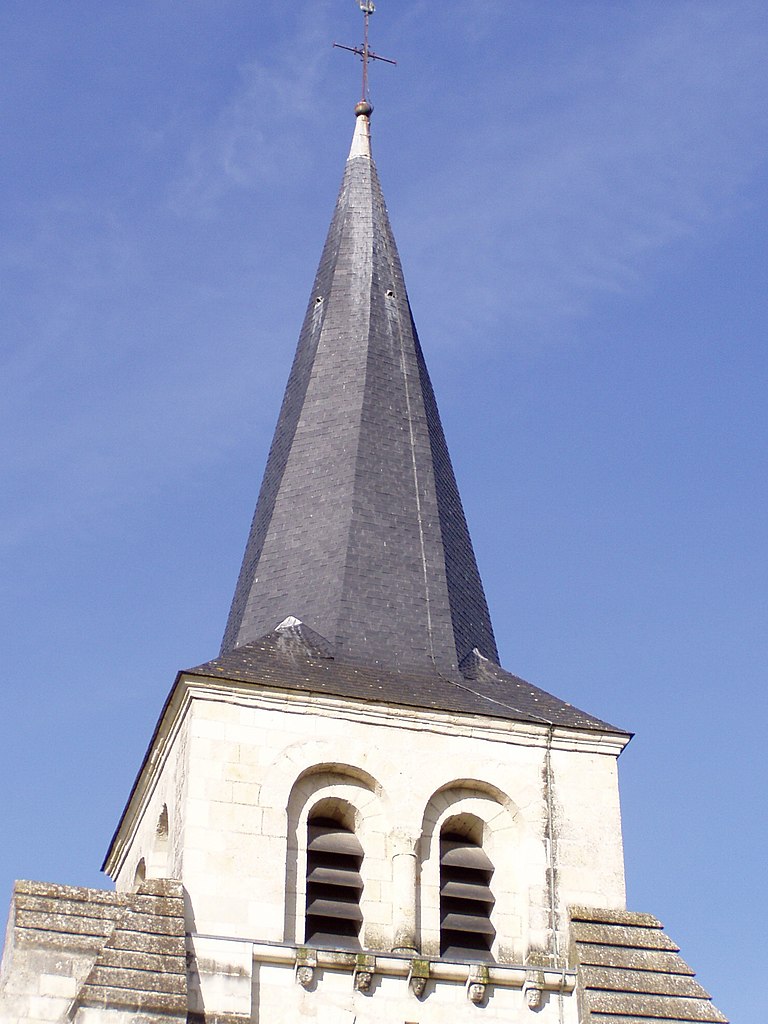
Verrie
- commune in Maine-et-Loire, France
- Country:
- Postal Code: 49400
- Coordinates: 47° 15' 56" N, 0° 10' 47" E
- GPS tracks (wikiloc): [Link]
- Area: 16.49 sq km
- Population: 470


Rou-Marson
- commune in Maine-et-Loire, France
- Country:
- Postal Code: 49400
- Coordinates: 47° 14' 6" N, 0° 9' 24" E
- GPS tracks (wikiloc): [Link]
- Area: 12.66 sq km
- Population: 670
Meigné
- former commune in Maine-et-Loire, France
- Country:
- Postal Code: 49700
- Coordinates: 47° 13' 54" N, 0° 12' 39" E
- GPS tracks (wikiloc): [Link]
- Area: 13.19 sq km
- Population: 368

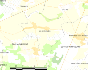
Courchamps
- commune in Maine-et-Loire, France
- Country:
- Postal Code: 49260
- Coordinates: 47° 12' 4" N, 0° 10' 1" E
- GPS tracks (wikiloc): [Link]
- Area: 6.99 sq km
- Population: 485