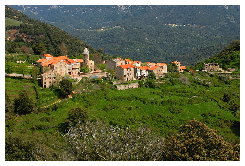
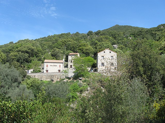
Levie (Levie)
- commune in Corse-du-Sud, France
- Country:

- Postal Code: 20170
- Coordinates: 41° 42' 14" N, 9° 7' 23" E


- GPS tracks (wikiloc): [Link]
- Area: 85.85 sq km
- Population: 728
- Wikipedia en: wiki(en)
- Wikipedia: wiki(fr)
- Wikidata storage: Wikidata: Q273443
- Wikipedia Commons Category: [Link]
- Freebase ID: [/m/03mfgfd]
- GeoNames ID: Alt: [6431091]
- SIREN number: [212001424]
- BnF ID: [15249982v]
- WOEID: [607858]
- INSEE municipality code: 2A142
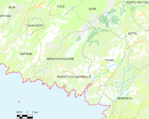
Shares border with regions:


Altagène
- commune in Corse-du-Sud, France
- Country:

- Postal Code: 20112
- Coordinates: 41° 42' 23" N, 9° 4' 12" E


- GPS tracks (wikiloc): [Link]
- AboveSeaLevel: 600 м m
- Area: 4.77 sq km
- Population: 43


Mela
- commune in Corse-du-Sud, France
- Country:

- Postal Code: 20112
- Coordinates: 41° 41' 45" N, 9° 5' 38" E


- GPS tracks (wikiloc): [Link]
- AboveSeaLevel: 800 м m
- Area: 4.63 sq km
- Population: 29


Sartène
- commune in Corse-du-Sud, France
- Country:

- Postal Code: 20100
- Coordinates: 41° 37' 15" N, 8° 58' 25" E


- GPS tracks (wikiloc): [Link]
- AboveSeaLevel: 330 м m
- Area: 200.4 sq km
- Population: 3308
- Web site: [Link]


Porto-Vecchio
- commune in Corse-du-Sud, France
- Country:

- Postal Code: 20137
- Coordinates: 41° 35' 27" N, 9° 16' 47" E


- GPS tracks (wikiloc): [Link]
- AboveSeaLevel: 40 м m
- Area: 168.65 sq km
- Population: 11826
- Web site: [Link]


Foce
- commune in Corse-du-Sud, France
- Country:

- Postal Code: 20100
- Coordinates: 41° 37' 51" N, 9° 3' 50" E


- GPS tracks (wikiloc): [Link]
- AboveSeaLevel: 135 м m
- Area: 20.75 sq km
- Population: 148


Quenza
- commune in Corse-du-Sud, France
- Country:

- Postal Code: 20122
- Coordinates: 41° 45' 58" N, 9° 8' 20" E


- GPS tracks (wikiloc): [Link]
- AboveSeaLevel: 805 м m
- Area: 95.67 sq km
- Population: 188


Sainte-Lucie-de-Tallano
- commune in Corse-du-Sud, France
- Country:

- Postal Code: 20112
- Coordinates: 41° 41' 52" N, 9° 3' 51" E


- GPS tracks (wikiloc): [Link]
- Area: 25.57 sq km
- Population: 444
- Web site: [Link]


Figari
- commune in Corse-du-Sud, France
- Country:

- Postal Code: 20114
- Coordinates: 41° 29' 17" N, 9° 7' 46" E


- GPS tracks (wikiloc): [Link]
- AboveSeaLevel: 125 м m
- Area: 100.22 sq km
- Population: 1446
Serra-di-Scopamène
- commune in Corse-du-Sud, France
- Country:

- Postal Code: 20127
- Coordinates: 41° 45' 14" N, 9° 5' 57" E


- GPS tracks (wikiloc): [Link]
- AboveSeaLevel: 865 м m
- Area: 20.42 sq km
- Population: 101


Sotta
- commune in Corse-du-Sud, France
- Country:

- Postal Code: 20146
- Coordinates: 41° 32' 41" N, 9° 11' 34" E


- GPS tracks (wikiloc): [Link]
- Area: 66.5 sq km
- Population: 1290
- Web site: [Link]


Pianottoli-Caldarello
- commune in Corse-du-Sud, France
- Country:

- Postal Code: 20131
- Coordinates: 41° 29' 39" N, 9° 3' 22" E


- GPS tracks (wikiloc): [Link]
- Area: 42.78 sq km
- Population: 943


Sorbollano
- commune in Corse-du-Sud, France
- Country:

- Postal Code: 20152
- Coordinates: 41° 45' 7" N, 9° 6' 34" E


- GPS tracks (wikiloc): [Link]
- AboveSeaLevel: 700 м m
- Area: 7.7 sq km
- Population: 73
- Web site: [Link]


Carbini
- commune in Corse-du-Sud, France
- Country:

- Postal Code: 20170
- Coordinates: 41° 40' 44" N, 9° 8' 48" E


- GPS tracks (wikiloc): [Link]
- Area: 16.47 sq km
- Population: 99


San-Gavino-di-Carbini
- commune in Corse-du-Sud, France
- Country:

- Postal Code: 20170
- Coordinates: 41° 43' 18" N, 9° 8' 52" E


- GPS tracks (wikiloc): [Link]
- AboveSeaLevel: 697 м m
- Area: 47.88 sq km
- Population: 1101
