Liez (Liez)
- commune in Aisne, France
- Country:

- Postal Code: 02700
- Coordinates: 49° 41' 27" N, 3° 17' 27" E


- GPS tracks (wikiloc): [Link]
- Area: 5.45 sq km
- Population: 409
- Wikipedia en: wiki(en)
- Wikipedia: wiki(fr)
- Wikidata storage: Wikidata: Q629901
- Wikipedia Commons Category: [Link]
- Freebase ID: [/m/03m4fsf]
- Freebase ID: [/m/03m4fsf]
- GeoNames ID: Alt: [6425005]
- GeoNames ID: Alt: [6425005]
- SIREN number: [210204103]
- SIREN number: [210204103]
- INSEE municipality code: 02431
- INSEE municipality code: 02431
Shares border with regions:

Tergnier
- commune in Aisne, France
- Country:
- Postal Code: 02700
- Coordinates: 49° 39' 21" N, 3° 17' 14" E
- GPS tracks (wikiloc): [Link]
- Area: 17.95 sq km
- Population: 13734
- Web site: [Link]
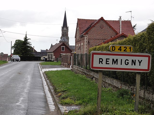

Remigny
- commune in Aisne, France
- Country:
- Postal Code: 02440
- Coordinates: 49° 43' 11" N, 3° 17' 19" E
- GPS tracks (wikiloc): [Link]
- Area: 10.07 sq km
- Population: 364

Mennessis
- commune in Aisne, France
- Country:
- Postal Code: 02700
- Coordinates: 49° 41' 38" N, 3° 16' 22" E
- GPS tracks (wikiloc): [Link]
- Area: 5.23 sq km
- Population: 431

Travecy
- commune in Aisne, France
- Country:
- Postal Code: 02800
- Coordinates: 49° 41' 17" N, 3° 21' 34" E
- GPS tracks (wikiloc): [Link]
- Area: 14.52 sq km
- Population: 684