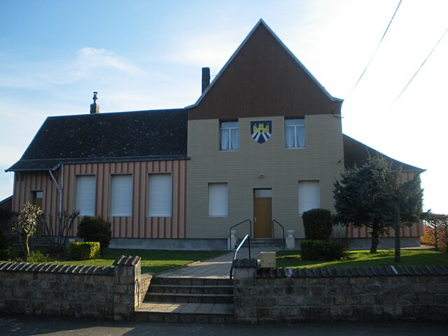
Ligny-Thilloy (Ligny-Thilloy)

- commune in Pas-de-Calais, France
- Country:

- Postal Code: 62450
- Coordinates: 50° 5' 4" N, 2° 49' 31" E


- GPS tracks (wikiloc): [Link]
- Area: 10.29 sq km
- Population: 551
- Wikipedia en: wiki(en)
- Wikipedia: wiki(fr)
- Wikidata storage: Wikidata: Q1024940
- Wikipedia Commons Category: [Link]
- Freebase ID: [/m/02z7gl4]
- GeoNames ID: Alt: [6439676]
- SIREN number: [216205153]
- BnF ID: [15268956g]
- INSEE municipality code: 62515
Shares border with regions:

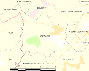
Grévillers
- commune in Pas-de-Calais, France
- Country:
- Postal Code: 62450
- Coordinates: 50° 6' 22" N, 2° 48' 40" E
- GPS tracks (wikiloc): [Link]
- Area: 6.35 sq km
- Population: 366


Flers
- commune in Somme, France
- Country:
- Postal Code: 80360
- Coordinates: 50° 2' 55" N, 2° 49' 17" E
- GPS tracks (wikiloc): [Link]
- Area: 6.27 sq km
- Population: 182


Gueudecourt
- commune in Somme, France
- Country:
- Postal Code: 80360
- Coordinates: 50° 3' 33" N, 2° 50' 33" E
- GPS tracks (wikiloc): [Link]
- Area: 4.87 sq km
- Population: 95
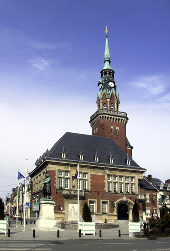

Bapaume
- commune in Pas-de-Calais, France
- Country:
- Postal Code: 62450
- Coordinates: 50° 6' 13" N, 2° 51' 4" E
- GPS tracks (wikiloc): [Link]
- Area: 5.76 sq km
- Population: 3956
- Web site: [Link]


Le Sars
- commune in Pas-de-Calais, France
- Country:
- Postal Code: 62450
- Coordinates: 50° 4' 15" N, 2° 46' 50" E
- GPS tracks (wikiloc): [Link]
- Area: 5.11 sq km
- Population: 178

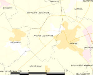
Avesnes-lès-Bapaume
- commune in Pas-de-Calais, France
- Country:
- Postal Code: 62450
- Coordinates: 50° 6' 17" N, 2° 50' 26" E
- GPS tracks (wikiloc): [Link]
- Area: 3.09 sq km
- Population: 157


Warlencourt-Eaucourt
- commune in Pas-de-Calais, France
- Country:
- Postal Code: 62450
- Coordinates: 50° 4' 57" N, 2° 47' 23" E
- GPS tracks (wikiloc): [Link]
- Area: 3.71 sq km
- Population: 146

Beaulencourt
- commune in Pas-de-Calais, France
- Country:
- Postal Code: 62450
- Coordinates: 50° 4' 34" N, 2° 52' 43" E
- GPS tracks (wikiloc): [Link]
- Area: 4.9 sq km
- Population: 239