Lorignac (Lorignac)

- commune in Charente-Maritime, France
- Country:

- Postal Code: 17240
- Coordinates: 45° 27' 21" N, 0° 41' 23" E


- GPS tracks (wikiloc): [Link]
- Area: 17.53 sq km
- Population: 492
- Wikipedia en: wiki(en)
- Wikipedia: wiki(fr)
- Wikidata storage: Wikidata: Q1438977
- Wikipedia Commons Category: [Link]
- Freebase ID: [/m/03mchph]
- GeoNames ID: Alt: [6427982]
- SIREN number: [211702105]
- BnF ID: [15249071q]
- INSEE municipality code: 17210
Shares border with regions:


Champagnolles
- commune in Charente-Maritime, France
- Country:
- Postal Code: 17240
- Coordinates: 45° 30' 51" N, 0° 38' 17" E
- GPS tracks (wikiloc): [Link]
- Area: 17.03 sq km
- Population: 620
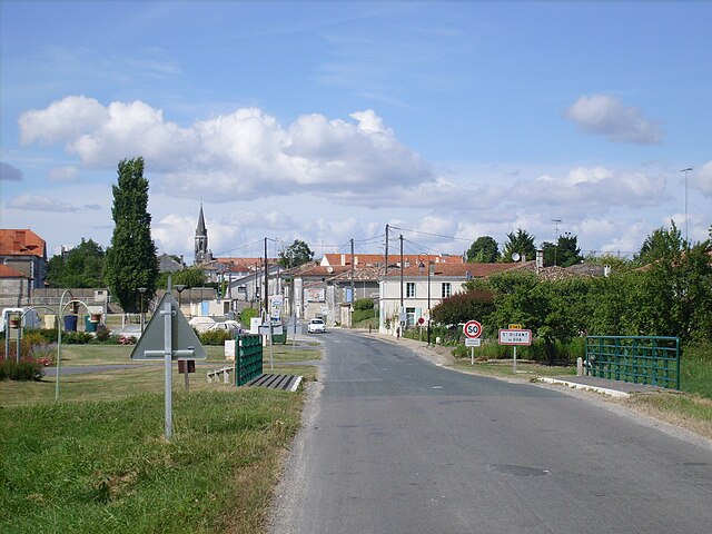

Saint-Dizant-du-Gua
- commune in Charente-Maritime, France
- Country:
- Postal Code: 17240
- Coordinates: 45° 25' 56" N, 0° 42' 14" E
- GPS tracks (wikiloc): [Link]
- Area: 18.44 sq km
- Population: 530


Saint-Ciers-du-Taillon
- commune in Charente-Maritime, France
- Country:
- Postal Code: 17240
- Coordinates: 45° 25' 23" N, 0° 38' 24" E
- GPS tracks (wikiloc): [Link]
- Area: 22.1 sq km
- Population: 549


Bois
- commune in Charente-Maritime, France
- Country:
- Postal Code: 17240
- Coordinates: 45° 29' 17" N, 0° 35' 55" E
- GPS tracks (wikiloc): [Link]
- Area: 21.12 sq km
- Population: 546


Saint-Fort-sur-Gironde
- commune in Charente-Maritime, France
- Country:
- Postal Code: 17240
- Coordinates: 45° 27' 39" N, 0° 43' 16" E
- GPS tracks (wikiloc): [Link]
- Area: 24.22 sq km
- Population: 909