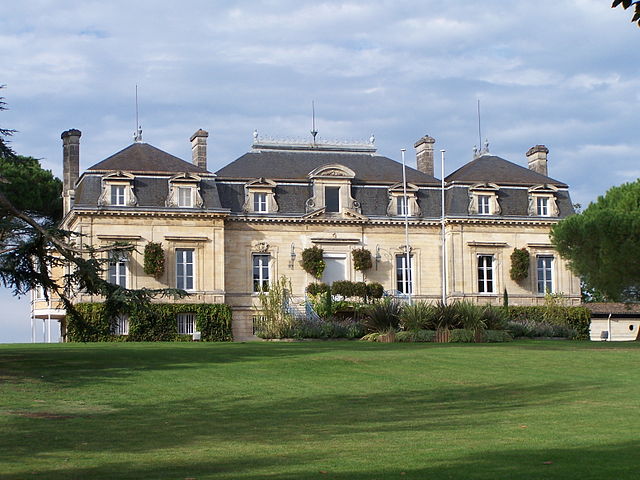
Lormont (Lormont)

- commune in Gironde, France
- Country:

- Postal Code: 33310
- Coordinates: 44° 52' 45" N, 0° 31' 18" E


- GPS tracks (wikiloc): [Link]
- AboveSeaLevel: 50 м m
- Area: 7.36 sq km
- Population: 22131
- Web site: http://www.lormont.fr
- Wikipedia en: wiki(en)
- Wikipedia: wiki(fr)
- Wikidata storage: Wikidata: Q235300
- Wikipedia Commons Category: [Link]
- Freebase ID: [/m/08ryg0]
- GeoNames ID: Alt: [2997556]
- SIREN number: [213302490]
- BnF ID: [15256301v]
- VIAF ID: Alt: [138336652]
- GND ID: Alt: [4230155-5]
- SUDOC authorities ID: [034596267]
- Twitter username: Alt: [VilledeLormont]
- ISNI: Alt: [0000 0001 2167 8644]
- INSEE municipality code: 33249
Shares border with regions:
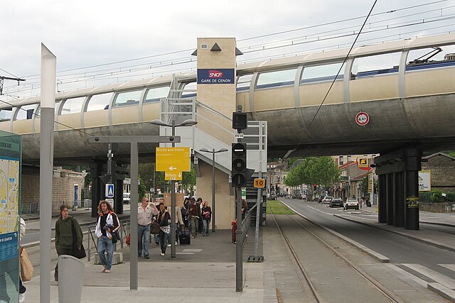

Cenon
- commune in Gironde, France
- Country:
- Postal Code: 33150
- Coordinates: 44° 51' 25" N, 0° 31' 58" E
- GPS tracks (wikiloc): [Link]
- Area: 5.52 sq km
- Population: 24547
- Web site: [Link]

Bordeaux
- commune in Gironde, France
- Country:
- Postal Code: 33800; 33300; 33200; 33100; 33000
- Coordinates: 44° 50' 16" N, 0° 34' 46" E
- GPS tracks (wikiloc): [Link]
- AboveSeaLevel: 6 м m
- Area: 49.36 sq km
- Population: 249712
- Web site: [Link]


Bassens
- commune in Gironde, France
- Country:
- Postal Code: 33530
- Coordinates: 44° 54' 12" N, 0° 31' 1" E
- GPS tracks (wikiloc): [Link]
- Area: 10.28 sq km
- Population: 7032
- Web site: [Link]


Yvrac
- commune in Gironde, France
- Country:
- Postal Code: 33370
- Coordinates: 44° 52' 47" N, 0° 27' 41" E
- GPS tracks (wikiloc): [Link]
- Area: 8.48 sq km
- Population: 2807
- Web site: [Link]


Carbon-Blanc
- commune in Gironde, France
- Country:
- Postal Code: 33560
- Coordinates: 44° 53' 41" N, 0° 30' 23" E
- GPS tracks (wikiloc): [Link]
- Area: 3.86 sq km
- Population: 7578
- Web site: [Link]

Artigues-près-Bordeaux
- commune in Gironde, France
- Country:
- Postal Code: 33370
- Coordinates: 44° 51' 0" N, 0° 31' 0" E
- GPS tracks (wikiloc): [Link]
- Area: 7.28 sq km
- Population: 8373
- Web site: [Link]


Sainte-Eulalie
- commune in Gironde, France
- Country:
- Postal Code: 33560
- Coordinates: 44° 54' 29" N, 0° 28' 23" E
- GPS tracks (wikiloc): [Link]
- Area: 9.06 sq km
- Population: 4576
- Web site: [Link]