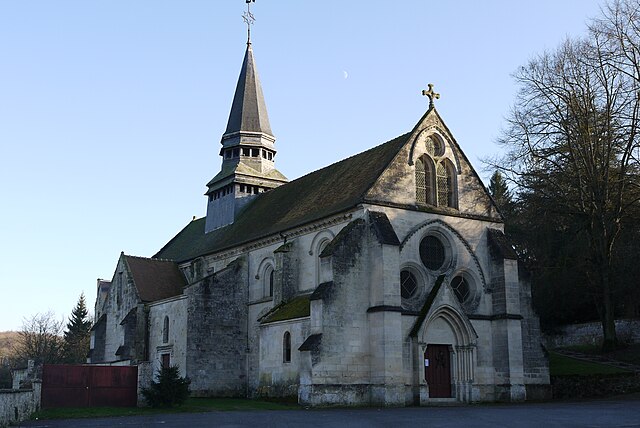
Louâtre (Louâtre)
- commune in Aisne, France
- Country:

- Postal Code: 02600
- Coordinates: 49° 15' 26" N, 3° 14' 46" E


- GPS tracks (wikiloc): [Link]
- Area: 11.02 sq km
- Population: 208
- Wikipedia en: wiki(en)
- Wikipedia: wiki(fr)
- Wikidata storage: Wikidata: Q869512
- Wikipedia Commons Category: [Link]
- Freebase ID: [/m/03m7mmy]
- Freebase ID: [/m/03m7mmy]
- GeoNames ID: Alt: [6425012]
- GeoNames ID: Alt: [6425012]
- SIREN number: [210204186]
- SIREN number: [210204186]
- INSEE municipality code: 02441
- INSEE municipality code: 02441
Shares border with regions:


Faverolles
- commune in Aisne, France
- Country:
- Postal Code: 02600
- Coordinates: 49° 13' 27" N, 3° 10' 35" E
- GPS tracks (wikiloc): [Link]
- AboveSeaLevel: 140 м m
- Area: 13.79 sq km
- Population: 308
Corcy
- commune in Aisne, France
- Country:
- Postal Code: 02600
- Coordinates: 49° 15' 14" N, 3° 12' 42" E
- GPS tracks (wikiloc): [Link]
- Area: 7.25 sq km
- Population: 313

Longpont
- commune in Aisne, France
- Country:
- Postal Code: 02600
- Coordinates: 49° 16' 22" N, 3° 13' 14" E
- GPS tracks (wikiloc): [Link]
- Area: 10.94 sq km
- Population: 271
- Web site: [Link]
Villers-Hélon
- commune in Aisne, France
- Country:
- Postal Code: 02600
- Coordinates: 49° 15' 48" N, 3° 15' 43" E
- GPS tracks (wikiloc): [Link]
- Area: 8.07 sq km
- Population: 223

Chouy
- commune in Aisne, France
- Country:
- Postal Code: 02210
- Coordinates: 49° 12' 21" N, 3° 14' 53" E
- GPS tracks (wikiloc): [Link]
- Area: 20.03 sq km
- Population: 375

Saint-Rémy-Blanzy
- commune in Aisne, France
- Country:
- Postal Code: 02210
- Coordinates: 49° 14' 28" N, 3° 18' 35" E
- GPS tracks (wikiloc): [Link]
- Area: 13.99 sq km
- Population: 211

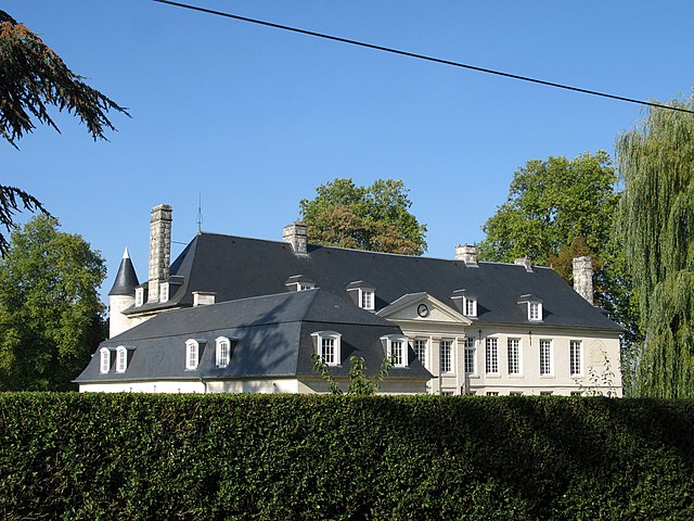
Montgobert
- commune in Aisne, France
- Country:
- Postal Code: 02600
- Coordinates: 49° 18' 25" N, 3° 8' 54" E
- GPS tracks (wikiloc): [Link]
- Area: 11.18 sq km
- Population: 195