Loubejac (Loubejac)

- commune in Dordogne, France
- Country:

- Postal Code: 24550
- Coordinates: 44° 35' 34" N, 1° 5' 15" E


- GPS tracks (wikiloc): [Link]
- Area: 18.55 sq km
- Population: 272
- Wikipedia en: wiki(en)
- Wikipedia: wiki(fr)
- Wikidata storage: Wikidata: Q1076761
- Wikipedia Commons Category: [Link]
- Freebase ID: [/m/03mg6tx]
- Freebase ID: [/m/03mg6tx]
- GeoNames ID: Alt: [2997499]
- GeoNames ID: Alt: [2997499]
- SIREN number: [212402457]
- SIREN number: [212402457]
- BnF ID: [152518925]
- BnF ID: [152518925]
- INSEE municipality code: 24245
- INSEE municipality code: 24245
Shares border with regions:


Saint-Cernin-de-l'Herm
- commune in Dordogne, France
- Country:
- Postal Code: 24550
- Coordinates: 44° 38' 25" N, 1° 2' 3" E
- GPS tracks (wikiloc): [Link]
- Area: 16.25 sq km
- Population: 233


Frayssinet-le-Gélat
- commune in Lot, France
- Country:
- Postal Code: 46250
- Coordinates: 44° 34' 57" N, 1° 9' 50" E
- GPS tracks (wikiloc): [Link]
- Area: 23.14 sq km
- Population: 354


Lavaur
- commune in Dordogne, France
- Country:
- Postal Code: 24550
- Coordinates: 44° 36' 48" N, 1° 1' 24" E
- GPS tracks (wikiloc): [Link]
- Area: 9 sq km
- Population: 66
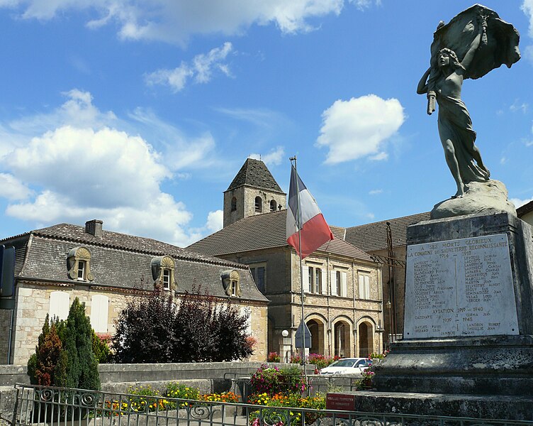

Sauveterre-la-Lémance
- commune in Lot-et-Garonne, France
- Country:
- Postal Code: 47500
- Coordinates: 44° 35' 22" N, 1° 0' 53" E
- GPS tracks (wikiloc): [Link]
- Area: 23.46 sq km
- Population: 528


Cassagnes
- commune in Lot, France
- Country:
- Postal Code: 46700
- Coordinates: 44° 33' 33" N, 1° 8' 20" E
- GPS tracks (wikiloc): [Link]
- Area: 11.62 sq km
- Population: 198


Montcabrier
- commune in Lot, France
- Country:
- Postal Code: 46700
- Coordinates: 44° 32' 30" N, 1° 4' 27" E
- GPS tracks (wikiloc): [Link]
- AboveSeaLevel: 191 м m
- Area: 21.75 sq km
- Population: 353