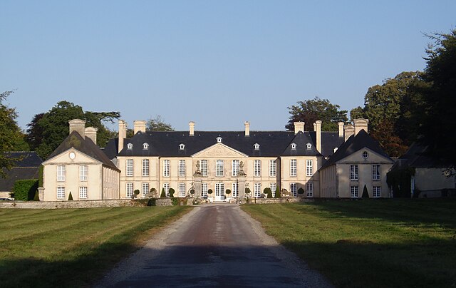
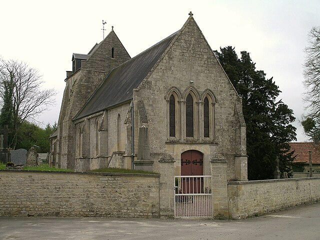
Loucelles (Loucelles)

- commune in Calvados, France
- Country:

- Postal Code: 14250
- Coordinates: 49° 13' 25" N, 0° 34' 54" E


- GPS tracks (wikiloc): [Link]
- Area: 3.07 sq km
- Population: 184
- Wikipedia en: wiki(en)
- Wikipedia: wiki(fr)
- Wikidata storage: Wikidata: Q543434
- Wikipedia Commons Category: [Link]
- Freebase ID: [/m/03075x]
- Freebase ID: [/m/03075x]
- GeoNames ID: Alt: [6427297]
- GeoNames ID: Alt: [6427297]
- SIREN number: [211403803]
- SIREN number: [211403803]
- BnF ID: [15247794t]
- BnF ID: [15247794t]
- INSEE municipality code: 14380
- INSEE municipality code: 14380
Shares border with regions:

Audrieu
- commune in Calvados, France
- Country:
- Postal Code: 14250
- Coordinates: 49° 12' 33" N, 0° 35' 36" E
- GPS tracks (wikiloc): [Link]
- Area: 11.31 sq km
- Population: 1016

Brouay
- former commune in Calvados, France
- Country:
- Postal Code: 14250
- Coordinates: 49° 12' 45" N, 0° 33' 51" E
- GPS tracks (wikiloc): [Link]
- Area: 3.98 sq km
- Population: 471
- Web site: [Link]

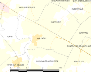
Carcagny
- commune in Calvados, France
- Country:
- Postal Code: 14740
- Coordinates: 49° 14' 20" N, 0° 37' 7" E
- GPS tracks (wikiloc): [Link]
- Area: 4.15 sq km
- Population: 283


Sainte-Croix-Grand-Tonne
- former commune in Calvados, France
- Country:
- Postal Code: 14740
- Coordinates: 49° 13' 54" N, 0° 33' 48" E
- GPS tracks (wikiloc): [Link]
- Area: 5.26 sq km
- Population: 304


Putot-en-Bessin
- former commune in Calvados, France
- Country:
- Postal Code: 14740
- Coordinates: 49° 12' 43" N, 0° 32' 26" E
- GPS tracks (wikiloc): [Link]
- Area: 3.51 sq km
- Population: 418
- Web site: [Link]


Ducy-Sainte-Marguerite
- commune in Calvados, France
- Country:
- Postal Code: 14250
- Coordinates: 49° 13' 31" N, 0° 36' 41" E
- GPS tracks (wikiloc): [Link]
- Area: 3.61 sq km
- Population: 151


Coulombs
- former commune in Calvados, France
- Country:
- Postal Code: 14480
- Coordinates: 49° 15' 4" N, 0° 33' 44" E
- GPS tracks (wikiloc): [Link]
- Area: 4.43 sq km
- Population: 430