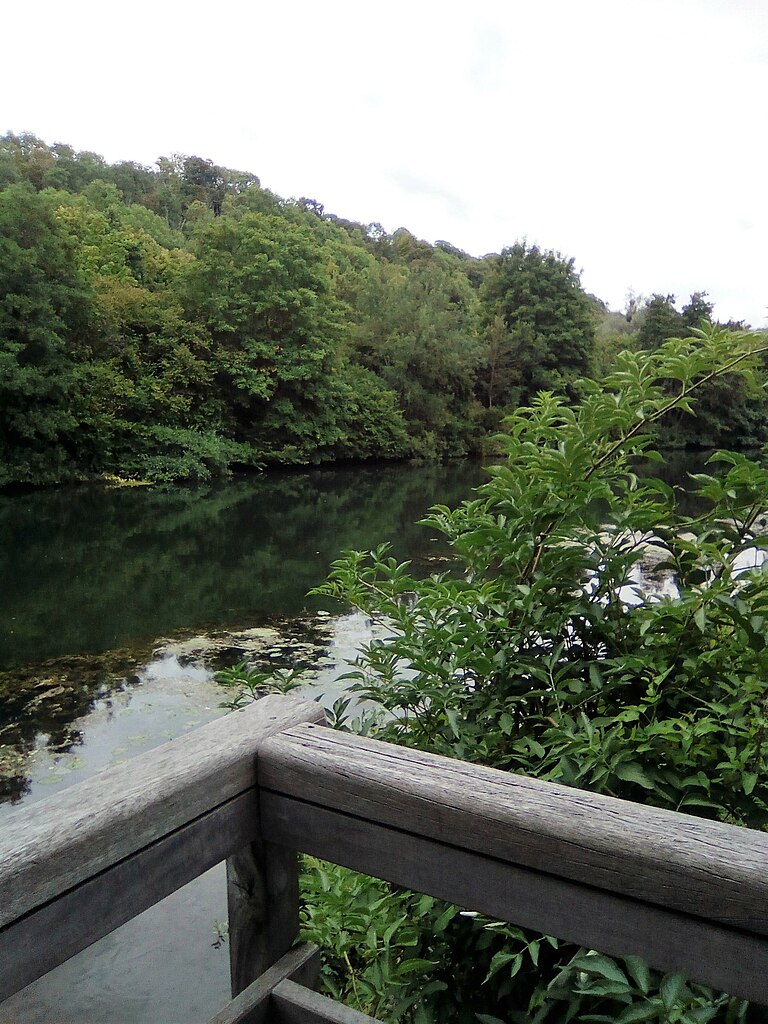
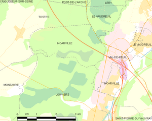
Louviers (Louviers)
- commune in Eure, France
- Country:

- Postal Code: 27400
- Coordinates: 49° 12' 55" N, 1° 9' 56" E


- GPS tracks (wikiloc): [Link]
- AboveSeaLevel: 15 м m
- Area: 27.06 sq km
- Population: 18410
- Web site: http://www.ville-louviers.fr
- Wikipedia en: wiki(en)
- Wikipedia: wiki(fr)
- Wikidata storage: Wikidata: Q474480
- Wikipedia Commons Category: [Link]
- Freebase ID: [/m/01dfks]
- Freebase ID: [/m/01dfks]
- Freebase ID: [/m/01dfks]
- GeoNames ID: Alt: [2997336]
- GeoNames ID: Alt: [2997336]
- GeoNames ID: Alt: [2997336]
- SIREN number: [212703755]
- SIREN number: [212703755]
- SIREN number: [212703755]
- BnF ID: [15253610x]
- BnF ID: [15253610x]
- BnF ID: [15253610x]
- VIAF ID: Alt: [157743294]
- VIAF ID: Alt: [157743294]
- VIAF ID: Alt: [157743294]
- GND ID: Alt: [4234554-6]
- GND ID: Alt: [4234554-6]
- GND ID: Alt: [4234554-6]
- archINFORM location ID: [4222]
- archINFORM location ID: [4222]
- archINFORM location ID: [4222]
- Library of Congress authority ID: Alt: [n85127589]
- Library of Congress authority ID: Alt: [n85127589]
- Library of Congress authority ID: Alt: [n85127589]
- PACTOLS thesaurus ID: [pcrttghcmm0KqN]
- PACTOLS thesaurus ID: [pcrttghcmm0KqN]
- PACTOLS thesaurus ID: [pcrttghcmm0KqN]
- MusicBrainz area ID: [2a599838-b94c-4444-a0f8-a5bd2ab76118]
- MusicBrainz area ID: [2a599838-b94c-4444-a0f8-a5bd2ab76118]
- MusicBrainz area ID: [2a599838-b94c-4444-a0f8-a5bd2ab76118]
- Twitter username: Alt: [villedelouviers]
- Twitter username: Alt: [villedelouviers]
- Twitter username: Alt: [villedelouviers]
- Digital Atlas of the Roman Empire ID: [39455]
- Digital Atlas of the Roman Empire ID: [39455]
- Digital Atlas of the Roman Empire ID: [39455]
- data.gouv.fr org ID: [mairie-de-louviers]
- data.gouv.fr org ID: [mairie-de-louviers]
- data.gouv.fr org ID: [mairie-de-louviers]
- INSEE municipality code: 27375
- INSEE municipality code: 27375
- INSEE municipality code: 27375
Shares border with regions:


Le Mesnil-Jourdain
- commune in Eure, France
- Country:

- Postal Code: 27400
- Coordinates: 49° 10' 37" N, 1° 7' 10" E


- GPS tracks (wikiloc): [Link]
- Area: 10.41 sq km
- Population: 232


Montaure
- former commune in Eure, France
- Country:

- Postal Code: 27400
- Coordinates: 49° 14' 7" N, 1° 5' 13" E


- GPS tracks (wikiloc): [Link]
- Area: 10.16 sq km
- Population: 1071


Pinterville
- commune in Eure, France
- Country:

- Postal Code: 27400
- Coordinates: 49° 11' 28" N, 1° 10' 33" E


- GPS tracks (wikiloc): [Link]
- Area: 5.93 sq km
- Population: 749


Incarville
- commune in Eure, France
- Country:

- Postal Code: 27400
- Coordinates: 49° 14' 14" N, 1° 10' 43" E


- GPS tracks (wikiloc): [Link]
- Area: 8.35 sq km
- Population: 1399
La Haye-le-Comte
- commune in Eure, France
- Country:

- Postal Code: 27400
- Coordinates: 49° 11' 51" N, 1° 8' 53" E


- GPS tracks (wikiloc): [Link]
- Area: 3.32 sq km
- Population: 135
