
Lyons-la-Forêt (Lyons-la-Forêt)

- commune in Eure, France
- Country:

- Postal Code: 27480
- Coordinates: 49° 23' 58" N, 1° 28' 34" E


- GPS tracks (wikiloc): [Link]
- AboveSeaLevel: 163 м m
- Area: 26.99 sq km
- Population: 735
- Web site: http://www.lyons-la-foret.fr/
- Wikipedia en: wiki(en)
- Wikipedia: wiki(fr)
- Wikidata storage: Wikidata: Q115476
- Wikipedia Commons Gallery: [Link]
- Wikipedia Commons Category: [Link]
- Freebase ID: [/m/046mqv]
- Freebase ID: [/m/046mqv]
- GeoNames ID: Alt: [2996938]
- GeoNames ID: Alt: [2996938]
- SIREN number: [212703771]
- SIREN number: [212703771]
- BnF ID: [15253612m]
- BnF ID: [15253612m]
- VIAF ID: Alt: [147795652]
- VIAF ID: Alt: [147795652]
- OSM relation ID: [3202959]
- OSM relation ID: [3202959]
- Library of Congress authority ID: Alt: [n84076266]
- Library of Congress authority ID: Alt: [n84076266]
- PACTOLS thesaurus ID: [pcrtGjjoeTTT2I]
- PACTOLS thesaurus ID: [pcrtGjjoeTTT2I]
- MusicBrainz area ID: [3b359641-3179-451a-a8a6-7090b5da598d]
- MusicBrainz area ID: [3b359641-3179-451a-a8a6-7090b5da598d]
- Digital Atlas of the Roman Empire ID: [18163]
- Digital Atlas of the Roman Empire ID: [18163]
- INSEE municipality code: 27377
- INSEE municipality code: 27377
Shares border with regions:
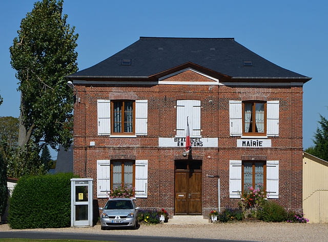

Beauficel-en-Lyons
- commune in Eure, France
- Country:
- Postal Code: 27480
- Coordinates: 49° 24' 27" N, 1° 31' 22" E
- GPS tracks (wikiloc): [Link]
- Area: 7.2 sq km
- Population: 192


Les Hogues
- commune in Eure, France
- Country:
- Postal Code: 27910
- Coordinates: 49° 25' 35" N, 1° 23' 47" E
- GPS tracks (wikiloc): [Link]
- AboveSeaLevel: 131 м m
- Area: 11.81 sq km
- Population: 630

Morgny
- commune in Eure, France
- Country:
- Postal Code: 27150
- Coordinates: 49° 22' 58" N, 1° 35' 26" E
- GPS tracks (wikiloc): [Link]
- Area: 17.37 sq km
- Population: 644

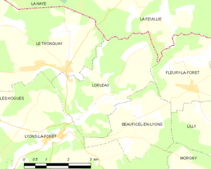
Lorleau
- commune in Eure, France
- Country:
- Postal Code: 27480
- Coordinates: 49° 24' 54" N, 1° 30' 7" E
- GPS tracks (wikiloc): [Link]
- Area: 12.31 sq km
- Population: 142

Lisors
- commune in Eure, France
- Country:
- Postal Code: 27440
- Coordinates: 49° 21' 9" N, 1° 28' 12" E
- GPS tracks (wikiloc): [Link]
- Area: 10.75 sq km
- Population: 349


Charleval
- commune in Eure, France
- Country:
- Postal Code: 27380
- Coordinates: 49° 22' 16" N, 1° 22' 59" E
- GPS tracks (wikiloc): [Link]
- Area: 14.14 sq km
- Population: 1826


Puchay
- commune in Eure, France
- Country:
- Postal Code: 27150
- Coordinates: 49° 20' 33" N, 1° 31' 58" E
- GPS tracks (wikiloc): [Link]
- Area: 13.93 sq km
- Population: 607


Rosay-sur-Lieure
- commune in Eure, France
- Country:
- Postal Code: 27790
- Coordinates: 49° 22' 24" N, 1° 25' 49" E
- GPS tracks (wikiloc): [Link]
- Area: 8.21 sq km
- Population: 545
- Web site: [Link]