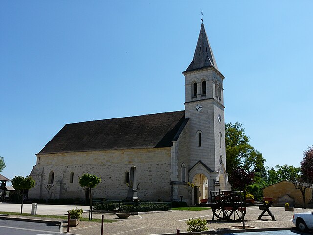
Ménesplet (Ménesplet)

- commune in Dordogne, France
- Country:

- Postal Code: 24700
- Coordinates: 45° 1' 2" N, 0° 6' 29" E


- GPS tracks (wikiloc): [Link]
- Area: 18.91 sq km
- Population: 1795
- Wikipedia en: wiki(en)
- Wikipedia: wiki(fr)
- Wikidata storage: Wikidata: Q1078115
- Wikipedia Commons Category: [Link]
- Freebase ID: [/m/03mg6_r]
- Freebase ID: [/m/03mg6_r]
- GeoNames ID: Alt: [2994596]
- GeoNames ID: Alt: [2994596]
- SIREN number: [212402648]
- SIREN number: [212402648]
- VIAF ID: Alt: [255316193]
- VIAF ID: Alt: [255316193]
- INSEE municipality code: 24264
- INSEE municipality code: 24264
Shares border with regions:


Montpon-Ménestérol
- commune in Dordogne, France
- Country:
- Postal Code: 24700
- Coordinates: 45° 0' 33" N, 0° 9' 33" E
- GPS tracks (wikiloc): [Link]
- Area: 46.34 sq km
- Population: 5466
- Web site: [Link]

Le Pizou
- commune in Dordogne, France
- Country:
- Postal Code: 24700
- Coordinates: 45° 1' 30" N, 0° 3' 44" E
- GPS tracks (wikiloc): [Link]
- Area: 17.02 sq km
- Population: 1312
- Web site: [Link]
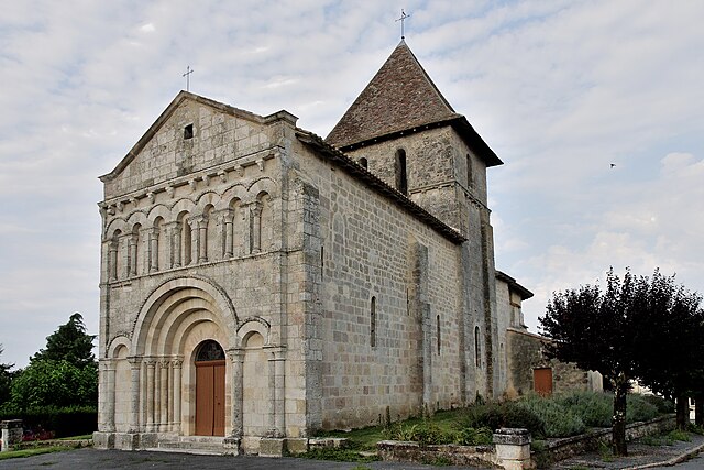

Saint-Martin-de-Gurson
- commune in Dordogne, France
- Country:
- Postal Code: 24610
- Coordinates: 44° 57' 9" N, 0° 6' 25" E
- GPS tracks (wikiloc): [Link]
- AboveSeaLevel: 85 м m
- Area: 24.58 sq km
- Population: 662
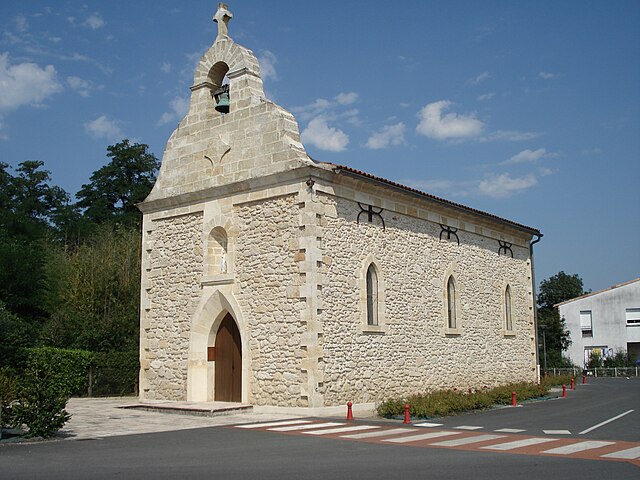
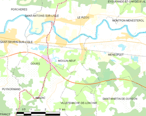
Moulin-Neuf
- commune in Dordogne, France
- Country:
- Postal Code: 24700
- Coordinates: 45° 0' 39" N, 0° 3' 3" E
- GPS tracks (wikiloc): [Link]
- Area: 8.62 sq km
- Population: 908