Mézières-en-Vexin (Mézières-en-Vexin)

- commune in Eure, France
- Country:

- Postal Code: 27510
- Coordinates: 49° 10' 21" N, 1° 30' 13" E


- GPS tracks (wikiloc): [Link]
- Area: 12.7 sq km
- Population: 627
- Wikipedia en: wiki(en)
- Wikipedia: wiki(fr)
- Wikidata storage: Wikidata: Q340035
- Wikipedia Commons Category: [Link]
- Freebase ID: [/m/03nqkc9]
- Freebase ID: [/m/03nqkc9]
- GeoNames ID: Alt: [6430493]
- GeoNames ID: Alt: [6430493]
- SIREN number: [212704084]
- SIREN number: [212704084]
- INSEE municipality code: 27408
- INSEE municipality code: 27408
Shares border with regions:
Hennezis
- commune in Eure, France
- Country:
- Postal Code: 27700
- Coordinates: 49° 11' 35" N, 1° 27' 53" E
- GPS tracks (wikiloc): [Link]
- Area: 15.63 sq km
- Population: 783
- Web site: [Link]
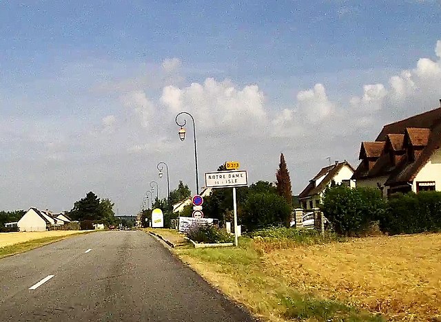

Notre-Dame-de-l'Isle
- commune in Eure, France
- Country:
- Postal Code: 27940
- Coordinates: 49° 8' 44" N, 1° 25' 54" E
- GPS tracks (wikiloc): [Link]
- Area: 11.81 sq km
- Population: 672
- Web site: [Link]


Guiseniers
- commune in Eure, France
- Country:
- Postal Code: 27700
- Coordinates: 49° 12' 55" N, 1° 28' 26" E
- GPS tracks (wikiloc): [Link]
- Area: 10.71 sq km
- Population: 455


Panilleuse
- former commune in Eure, France
- Country:
- Postal Code: 27510
- Coordinates: 49° 9' 1" N, 1° 30' 8" E
- GPS tracks (wikiloc): [Link]
- Area: 8.87 sq km
- Population: 452
- Web site: [Link]


Forêt-la-Folie
- former commune in Eure, France
- Country:
- Postal Code: 27510
- Coordinates: 49° 13' 26" N, 1° 31' 40" E
- GPS tracks (wikiloc): [Link]
- Area: 11.02 sq km
- Population: 491