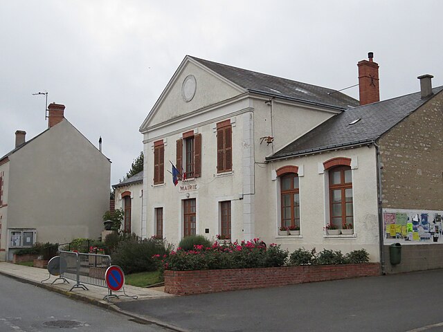
Mareau-aux-Bois (Mareau-aux-Bois)

- commune in Loiret, France
- Country:

- Postal Code: 45300
- Coordinates: 48° 6' 6" N, 2° 11' 21" E


- GPS tracks (wikiloc): [Link]
- Area: 11.61 sq km
- Population: 588
- Wikipedia en: wiki(en)
- Wikipedia: wiki(fr)
- Wikidata storage: Wikidata: Q1379889
- Wikipedia Commons Category: [Link]
- Freebase ID: [/m/03nwjn3]
- GeoNames ID: Alt: [6434643]
- SIREN number: [214501959]
- BnF ID: [15260587q]
- PACTOLS thesaurus ID: [pcrtSA75OVtzGX]
- INSEE municipality code: 45195
Shares border with regions:


Attray
- commune in Loiret, France
- Country:
- Postal Code: 45170
- Coordinates: 48° 7' 20" N, 2° 6' 43" E
- GPS tracks (wikiloc): [Link]
- Area: 16.74 sq km
- Population: 212
- Web site: [Link]

Escrennes
- commune in Loiret, France
- Country:
- Postal Code: 45300
- Coordinates: 48° 7' 59" N, 2° 11' 19" E
- GPS tracks (wikiloc): [Link]
- Area: 11.55 sq km
- Population: 741


Chilleurs-aux-Bois
- commune in Loiret, France
- Country:
- Postal Code: 45170
- Coordinates: 48° 4' 20" N, 2° 8' 5" E
- GPS tracks (wikiloc): [Link]
- Area: 52.22 sq km
- Population: 2016
- Web site: [Link]
Laas
- commune in Loiret, France
- Country:
- Postal Code: 45300
- Coordinates: 48° 7' 13" N, 2° 13' 2" E
- GPS tracks (wikiloc): [Link]
- Area: 6.6 sq km
- Population: 232


Vrigny
- commune in Loiret, France
- Country:
- Postal Code: 45300
- Coordinates: 48° 4' 51" N, 2° 14' 36" E
- GPS tracks (wikiloc): [Link]
- Area: 16.14 sq km
- Population: 841


Courcy-aux-Loges
- commune in Loiret, France
- Country:
- Postal Code: 45300
- Coordinates: 48° 3' 52" N, 2° 12' 45" E
- GPS tracks (wikiloc): [Link]
- Area: 20.9 sq km
- Population: 429
- Web site: [Link]
Santeau
- commune in Loiret, France
- Country:
- Postal Code: 45170
- Coordinates: 48° 6' 20" N, 2° 8' 44" E
- GPS tracks (wikiloc): [Link]
- Area: 8.71 sq km
- Population: 409