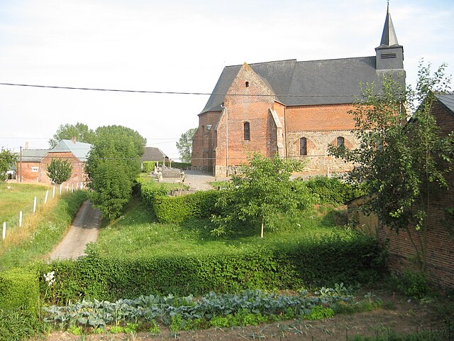
Marly-Gomont (Marly-Gomont)
- commune in Aisne, France
- Country:

- Postal Code: 02120
- Coordinates: 49° 54' 16" N, 3° 47' 18" E


- GPS tracks (wikiloc): [Link]
- Area: 12.91 sq km
- Population: 457
- Wikipedia en: wiki(en)
- Wikipedia: wiki(fr)
- Wikidata storage: Wikidata: Q1020488
- Wikipedia Commons Category: [Link]
- Freebase ID: [/m/0264m85]
- Freebase ID: [/m/0264m85]
- GeoNames ID: Alt: [6425035]
- GeoNames ID: Alt: [6425035]
- SIREN number: [210204467]
- SIREN number: [210204467]
- INSEE municipality code: 02469
- INSEE municipality code: 02469
Shares border with regions:

Saint-Algis
- commune in Aisne, France
- Country:
- Postal Code: 02260
- Coordinates: 49° 53' 52" N, 3° 49' 26" E
- GPS tracks (wikiloc): [Link]
- Area: 6.89 sq km
- Population: 164

La Vallée-au-Blé
- commune in Aisne, France
- Country:
- Postal Code: 02140
- Coordinates: 49° 51' 31" N, 3° 47' 20" E
- GPS tracks (wikiloc): [Link]
- Area: 5.17 sq km
- Population: 365

Chigny
- commune in Aisne, France
- Country:
- Postal Code: 02120
- Coordinates: 49° 55' 0" N, 3° 46' 0" E
- GPS tracks (wikiloc): [Link]
- Area: 10.47 sq km
- Population: 147

Englancourt
- commune in Aisne, France
- Country:
- Postal Code: 02260
- Coordinates: 49° 55' 1" N, 3° 48' 4" E
- GPS tracks (wikiloc): [Link]
- Area: 7.97 sq km
- Population: 133
Haution
- commune in Aisne, France
- Country:
- Postal Code: 02140
- Coordinates: 49° 51' 59" N, 3° 50' 25" E
- GPS tracks (wikiloc): [Link]
- Area: 9.34 sq km
- Population: 150

Proisy
- commune in Aisne, France
- Country:
- Postal Code: 02120
- Coordinates: 49° 53' 52" N, 3° 44' 24" E
- GPS tracks (wikiloc): [Link]
- Area: 5.2 sq km
- Population: 297