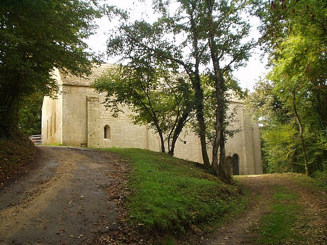
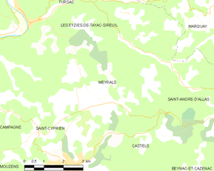
Meyrals (Meyrals)
- commune in Dordogne, France
- Country:

- Postal Code: 24220
- Coordinates: 44° 53' 56" N, 1° 3' 50" E


- GPS tracks (wikiloc): [Link]
- Area: 18.16 sq km
- Population: 621
- Web site: http://www.meyrals.fr
- Wikipedia en: wiki(en)
- Wikipedia: wiki(fr)
- Wikidata storage: Wikidata: Q1077941
- Wikipedia Commons Category: [Link]
- Freebase ID: [/m/02rdht0]
- Freebase ID: [/m/02rdht0]
- GeoNames ID: Alt: [2994075]
- GeoNames ID: Alt: [2994075]
- SIREN number: [212402689]
- SIREN number: [212402689]
- BnF ID: [15251914n]
- BnF ID: [15251914n]
- PACTOLS thesaurus ID: [pcrtP98rbKrbzN]
- PACTOLS thesaurus ID: [pcrtP98rbKrbzN]
- INSEE municipality code: 24268
- INSEE municipality code: 24268
Shares border with regions:


Castels
- former commune in Dordogne, France
- Country:

- Postal Code: 24220
- Coordinates: 44° 51' 58" N, 1° 3' 3" E


- GPS tracks (wikiloc): [Link]
- Area: 19.6 sq km
- Population: 645


Les Eyzies-de-Tayac-Sireuil
- commune in Dordogne, France
- Country:

- Postal Code: 24620
- Coordinates: 44° 56' 8" N, 1° 1' 1" E


- GPS tracks (wikiloc): [Link]
- AboveSeaLevel: 74 м m
- Area: 37.44 sq km
- Population: 815
- Web site: [Link]
