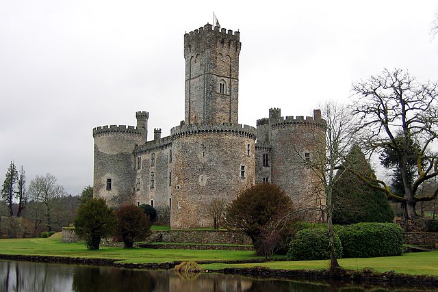
Mialet (Mialet)

- commune in Dordogne, France
- Country:

- Postal Code: 24450
- Coordinates: 45° 32' 59" N, 0° 54' 15" E


- GPS tracks (wikiloc): [Link]
- Area: 37.3 sq km
- Population: 626
- Wikipedia en: wiki(en)
- Wikipedia: wiki(fr)
- Wikidata storage: Wikidata: Q196689
- Wikipedia Commons Category: [Link]
- Freebase ID: [/m/03mhl89]
- Freebase ID: [/m/03mhl89]
- GeoNames ID: Alt: [6429438]
- GeoNames ID: Alt: [6429438]
- SIREN number: [212402697]
- SIREN number: [212402697]
- BnF ID: [152519150]
- BnF ID: [152519150]
- VIAF ID: Alt: [152103490]
- VIAF ID: Alt: [152103490]
- PACTOLS thesaurus ID: [pcrtxgSMEkLMUG]
- PACTOLS thesaurus ID: [pcrtxgSMEkLMUG]
- INSEE municipality code: 24269
- INSEE municipality code: 24269
Shares border with regions:


La Chapelle-Montbrandeix
- commune in Haute-Vienne, France
- Country:
- Postal Code: 87440
- Coordinates: 45° 38' 45" N, 0° 50' 57" E
- GPS tracks (wikiloc): [Link]
- Area: 19.83 sq km
- Population: 248

Dournazac
- commune in Haute-Vienne, France
- Country:
- Postal Code: 87230
- Coordinates: 45° 37' 30" N, 0° 54' 59" E
- GPS tracks (wikiloc): [Link]
- Area: 35.97 sq km
- Population: 646
- Web site: [Link]

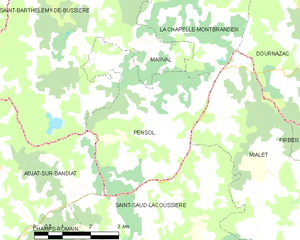
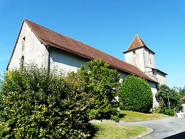
Pensol
- commune in Haute-Vienne, France
- Country:
- Postal Code: 87440
- Coordinates: 45° 36' 38" N, 0° 49' 33" E
- GPS tracks (wikiloc): [Link]
- Area: 15.04 sq km
- Population: 190

Saint-Jory-de-Chalais
- commune in Dordogne, France
- Country:
- Postal Code: 24800
- Coordinates: 45° 29' 54" N, 0° 53' 56" E
- GPS tracks (wikiloc): [Link]
- AboveSeaLevel: 260 м m
- Area: 31.73 sq km
- Population: 570
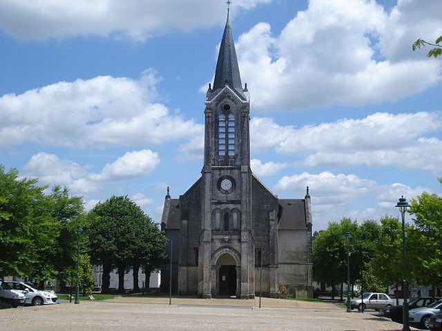
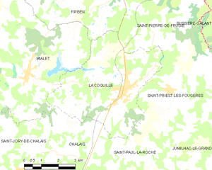
La Coquille
- commune in Dordogne, France
- Country:
- Postal Code: 24450
- Coordinates: 45° 32' 32" N, 0° 58' 35" E
- GPS tracks (wikiloc): [Link]
- Area: 22.37 sq km
- Population: 1344
- Web site: [Link]


Firbeix
- commune in Dordogne, France
- Country:
- Postal Code: 24450
- Coordinates: 45° 35' 58" N, 0° 58' 29" E
- GPS tracks (wikiloc): [Link]
- Area: 22.66 sq km
- Population: 299

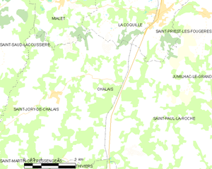
Chalais
- commune in Dordogne, France
- Country:
- Postal Code: 24800
- Coordinates: 45° 30' 29" N, 0° 55' 39" E
- GPS tracks (wikiloc): [Link]
- Area: 18.81 sq km
- Population: 392
- Web site: [Link]