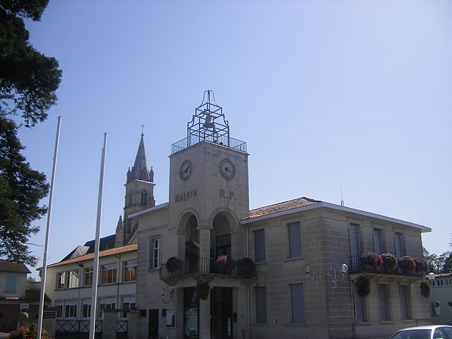
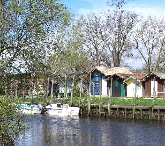
Mios (Mios)

- commune in Gironde, France
- Country:

- Postal Code: 33380
- Coordinates: 44° 36' 18" N, 0° 56' 13" E


- GPS tracks (wikiloc): [Link]
- Area: 137.41 sq km
- Population: 9067
- Web site: http://www.ville-mios.fr
- Wikipedia en: wiki(en)
- Wikipedia: wiki(fr)
- Wikidata storage: Wikidata: Q501812
- Wikipedia Commons Category: [Link]
- Freebase ID: [/m/03nr_n8]
- GeoNames ID: Alt: [6432309]
- SIREN number: [213302847]
- BnF ID: [152563355]
- INSEE municipality code: 33284
Shares border with regions:


Le Teich
- commune in Gironde, France
- Country:
- Postal Code: 33470
- Coordinates: 44° 38' 2" N, 1° 1' 25" E
- GPS tracks (wikiloc): [Link]
- Area: 87.08 sq km
- Population: 7682
- Web site: [Link]

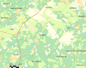
Le Barp
- commune in Gironde, France
- Country:
- Postal Code: 33114
- Coordinates: 44° 36' 22" N, 0° 46' 4" E
- GPS tracks (wikiloc): [Link]
- Area: 107.32 sq km
- Population: 5380
- Web site: [Link]
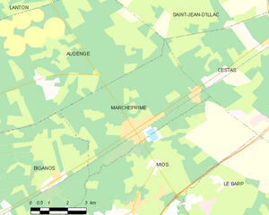
Marcheprime
- commune in Gironde, France
- Country:
- Postal Code: 33380
- Coordinates: 44° 41' 32" N, 0° 51' 18" E
- GPS tracks (wikiloc): [Link]
- Area: 24.56 sq km
- Population: 4577
- Web site: [Link]

Biganos
- commune in Gironde, France
- Country:
- Postal Code: 33380
- Coordinates: 44° 38' 39" N, 0° 58' 42" E
- GPS tracks (wikiloc): [Link]
- Area: 77.28 sq km
- Population: 10258
- Web site: [Link]


Cestas
- commune in Gironde, France
- Country:
- Postal Code: 33610
- Coordinates: 44° 44' 40" N, 0° 40' 56" E
- GPS tracks (wikiloc): [Link]
- AboveSeaLevel: 67 м m
- Area: 99.57 sq km
- Population: 16573
- Web site: [Link]


Salles
- commune in Gironde, France
- Country:
- Postal Code: 33770
- Coordinates: 44° 33' 7" N, 0° 52' 10" E
- GPS tracks (wikiloc): [Link]
- AboveSeaLevel: 41 м m
- Area: 137.98 sq km
- Population: 6785
- Web site: [Link]