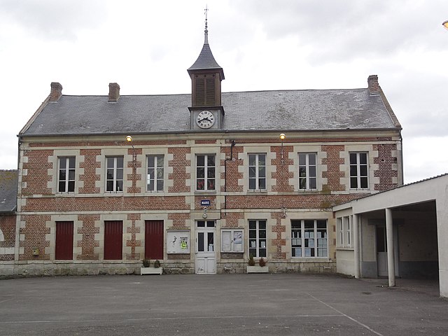
Monceau-le-Waast (Monceau-le-Waast)
- commune in Aisne, France
- Country:

- Postal Code: 02840
- Coordinates: 49° 37' 8" N, 3° 42' 49" E


- GPS tracks (wikiloc): [Link]
- Area: 5.41 sq km
- Population: 212
- Wikipedia en: wiki(en)
- Wikipedia: wiki(fr)
- Wikidata storage: Wikidata: Q872136
- Wikipedia Commons Category: [Link]
- Freebase ID: [/m/03m7n64]
- Freebase ID: [/m/03m7n64]
- GeoNames ID: Alt: [6425058]
- GeoNames ID: Alt: [6425058]
- SIREN number: [210204707]
- SIREN number: [210204707]
- INSEE municipality code: 02493
- INSEE municipality code: 02493
Shares border with regions:


Samoussy
- commune in Aisne, France
- Country:
- Postal Code: 02840
- Coordinates: 49° 35' 6" N, 3° 44' 2" E
- GPS tracks (wikiloc): [Link]
- Area: 25.04 sq km
- Population: 382

Gizy
- commune in Aisne, France
- Country:
- Postal Code: 02350
- Coordinates: 49° 36' 2" N, 3° 46' 28" E
- GPS tracks (wikiloc): [Link]
- Area: 10.25 sq km
- Population: 677

Barenton-Bugny
- commune in Aisne, France
- Country:
- Postal Code: 02000
- Coordinates: 49° 37' 59" N, 3° 39' 5" E
- GPS tracks (wikiloc): [Link]
- Area: 11.38 sq km
- Population: 545
Grandlup-et-Fay
- commune in Aisne, France
- Country:
- Postal Code: 02350
- Coordinates: 49° 39' 28" N, 3° 44' 13" E
- GPS tracks (wikiloc): [Link]
- Area: 20.3 sq km
- Population: 307