Monestier (Monestier)

- commune in Dordogne, France
- Country:

- Postal Code: 24240
- Coordinates: 44° 46' 24" N, 0° 19' 41" E


- GPS tracks (wikiloc): [Link]
- Area: 17.75 sq km
- Population: 376
- Wikipedia en: wiki(en)
- Wikipedia: wiki(fr)
- Wikidata storage: Wikidata: Q1012694
- Wikipedia Commons Category: [Link]
- Freebase ID: [/m/03mhl8_]
- Freebase ID: [/m/03mhl8_]
- GeoNames ID: Alt: [6612363]
- GeoNames ID: Alt: [6612363]
- SIREN number: [212402762]
- SIREN number: [212402762]
- BnF ID: [152519228]
- BnF ID: [152519228]
- INSEE municipality code: 24276
- INSEE municipality code: 24276
Shares border with regions:

Cunèges
- commune in Dordogne, France
- Country:
- Postal Code: 24240
- Coordinates: 44° 46' 48" N, 0° 22' 21" E
- GPS tracks (wikiloc): [Link]
- Area: 5.98 sq km
- Population: 296


Loubès-Bernac
- commune in Lot-et-Garonne, France
- Country:
- Postal Code: 47120
- Coordinates: 44° 43' 51" N, 0° 17' 39" E
- GPS tracks (wikiloc): [Link]
- Area: 19.31 sq km
- Population: 389


Margueron
- commune in Gironde, France
- Country:
- Postal Code: 33220
- Coordinates: 44° 45' 43" N, 0° 14' 58" E
- GPS tracks (wikiloc): [Link]
- Area: 13.57 sq km
- Population: 363


Saussignac
- commune in Dordogne, France
- Country:
- Postal Code: 24240
- Coordinates: 44° 48' 2" N, 0° 19' 33" E
- GPS tracks (wikiloc): [Link]
- Area: 8.97 sq km
- Population: 430
- Web site: [Link]

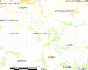
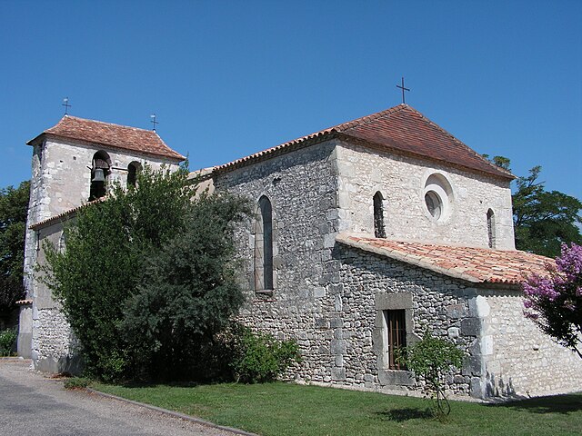
Gageac-et-Rouillac
- commune in Dordogne, France
- Country:
- Postal Code: 24240
- Coordinates: 44° 48' 0" N, 0° 47' 0" E
- GPS tracks (wikiloc): [Link]
- Area: 13.99 sq km
- Population: 432
- Web site: [Link]


Ligueux
- commune in Gironde, France
- Country:
- Postal Code: 33220
- Coordinates: 44° 47' 9" N, 0° 16' 10" E
- GPS tracks (wikiloc): [Link]
- AboveSeaLevel: 82 м m
- Area: 5.05 sq km
- Population: 169