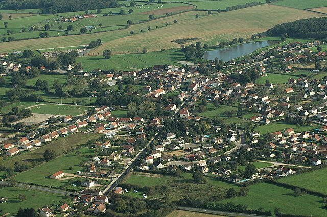
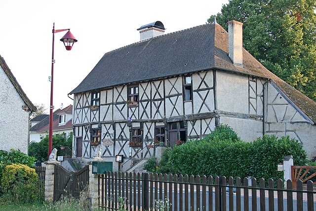
Montbeugny (Montbeugny)
- commune in Allier, France
- Country:

- Postal Code: 03340
- Coordinates: 46° 31' 44" N, 3° 29' 20" E


- GPS tracks (wikiloc): [Link]
- Area: 32.65 sq km
- Population: 691
- Wikipedia en: wiki(en)
- Wikipedia: wiki(fr)
- Wikidata storage: Wikidata: Q648105
- Wikipedia Commons Category: [Link]
- Freebase ID: [/m/03m7tf8]
- Freebase ID: [/m/03m7tf8]
- GeoNames ID: Alt: [6425408]
- GeoNames ID: Alt: [6425408]
- SIREN number: [210301800]
- SIREN number: [210301800]
- INSEE municipality code: 03180
- INSEE municipality code: 03180
Shares border with regions:

Toulon-sur-Allier
- commune in Allier, France
- Country:
- Postal Code: 03400
- Coordinates: 46° 31' 4" N, 3° 21' 33" E
- GPS tracks (wikiloc): [Link]
- Area: 38.69 sq km
- Population: 1131
- Web site: [Link]


Thiel-sur-Acolin
- commune in Allier, France
- Country:
- Postal Code: 03230
- Coordinates: 46° 31' 24" N, 3° 34' 54" E
- GPS tracks (wikiloc): [Link]
- AboveSeaLevel: 228 м m
- Area: 57.71 sq km
- Population: 1107

Yzeure
- commune in Allier, France
- Country:
- Postal Code: 03400
- Coordinates: 46° 33' 57" N, 3° 21' 16" E
- GPS tracks (wikiloc): [Link]
- Area: 43.24 sq km
- Population: 13087
- Web site: [Link]
Lusigny
- commune in Allier, France
- Country:
- Postal Code: 03230
- Coordinates: 46° 35' 16" N, 3° 29' 29" E
- GPS tracks (wikiloc): [Link]
- Area: 44.55 sq km
- Population: 1708
Neuilly-le-Réal
- commune in Allier, France
- Country:
- Postal Code: 03340
- Coordinates: 46° 27' 51" N, 3° 25' 55" E
- GPS tracks (wikiloc): [Link]
- Area: 46.97 sq km
- Population: 1465

Chapeau
- commune in Allier, France
- Country:
- Postal Code: 03340
- Coordinates: 46° 29' 17" N, 3° 31' 23" E
- GPS tracks (wikiloc): [Link]
- Area: 33.42 sq km
- Population: 230