Montord (Montord)
- commune in Allier, France
- Country:

- Postal Code: 03500
- Coordinates: 46° 17' 35" N, 3° 13' 49" E


- GPS tracks (wikiloc): [Link]
- Area: 4.44 sq km
- Population: 214
- Wikipedia en: wiki(en)
- Wikipedia: wiki(fr)
- Wikidata storage: Wikidata: Q264156
- Wikipedia Commons Category: [Link]
- Freebase ID: [/m/03m7thb]
- Freebase ID: [/m/03m7thb]
- GeoNames ID: Alt: [6425415]
- GeoNames ID: Alt: [6425415]
- SIREN number: [210301883]
- SIREN number: [210301883]
- INSEE municipality code: 03188
- INSEE municipality code: 03188
Shares border with regions:

Louchy-Montfand
- commune in Allier, France
- Country:
- Postal Code: 03500
- Coordinates: 46° 18' 27" N, 3° 14' 44" E
- GPS tracks (wikiloc): [Link]
- Area: 5.33 sq km
- Population: 437
- Web site: [Link]

Saint-Pourçain-sur-Sioule
- commune in Allier, France
- Country:
- Postal Code: 03500
- Coordinates: 46° 18' 27" N, 3° 17' 22" E
- GPS tracks (wikiloc): [Link]
- AboveSeaLevel: 306 м m
- Area: 35.67 sq km
- Population: 5090
- Web site: [Link]

Chareil-Cintrat
- commune in Allier, France
- Country:
- Postal Code: 03140
- Coordinates: 46° 16' 1" N, 3° 13' 14" E
- GPS tracks (wikiloc): [Link]
- Area: 12.77 sq km
- Population: 360

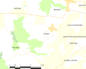
Cesset
- commune in Allier, France
- Country:
- Postal Code: 03500
- Coordinates: 46° 18' 14" N, 3° 12' 27" E
- GPS tracks (wikiloc): [Link]
- Area: 12.19 sq km
- Population: 395